
Flood Map for Planning
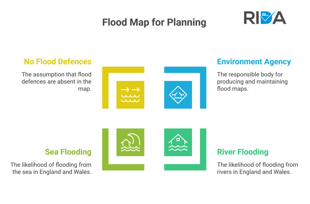
The Flood Map for Planning is produced by the Environment Agency and provides an indication of the likelihood of flooding from rivers or the sea within all areas of England and Wales, assuming there are no flood defences. Check is an FRA required? to understand your planning obligations. The map and its flood zones are explained in full on GOV.UK flood zone assessment guidance.
Case Example
This is the first document an architect checks. If the “Flood Map for Planning” shows your site is in Zone 2 or 3, a professional Flood Risk Assessment will be required by the council.
Unsure about your zone? Rida Reports provides expert interpretation within your FRA.