Groundwater flood risk assessment for your property
We deliver groundwater flood risk assessment reports compliant with the Environment Agency and Local planning guidance to ensure planning permission.
Our initial flood risk assessment report within 48 hours to keep your project on schedule.


Our FRA covers all developments across different flood zones
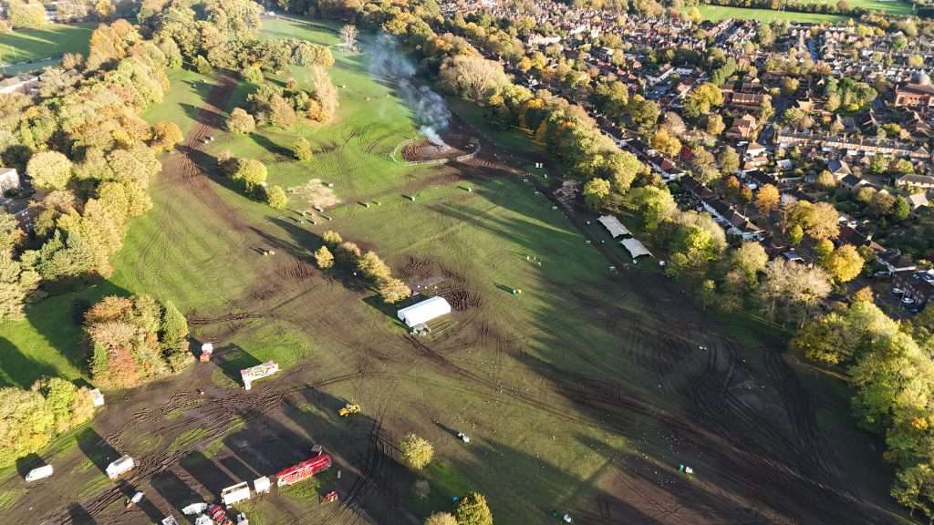
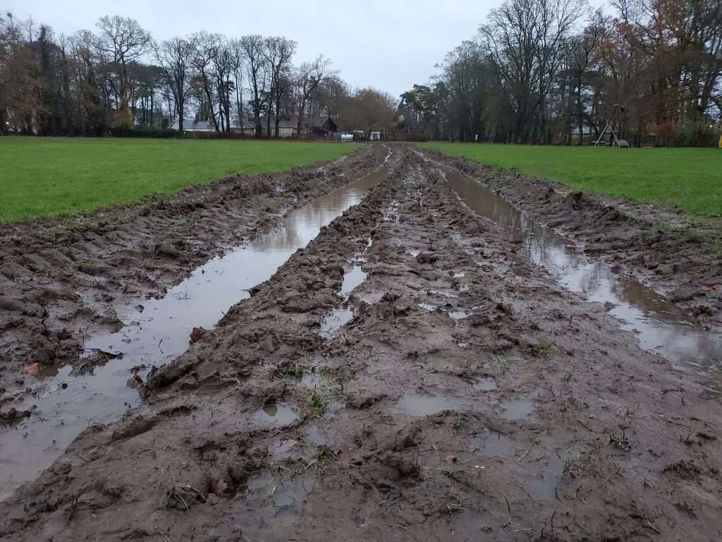
Our groundwater flood risk assessment covers all developments in flood zones 1, 2, and 3.
Our FRA are suitable for small and large developments.
Our assessment covers properties, such as :
- Residential homes
- Basements
- Apartment buildings
- Commercial offices, shops, and leisure facilities
- Industrial warehouses
- Manufacturing plants
- Hospitals, schools, and public infrastructure
- Sport Venues
- Parks
Our Clients


Targeted groundwater flood solutions
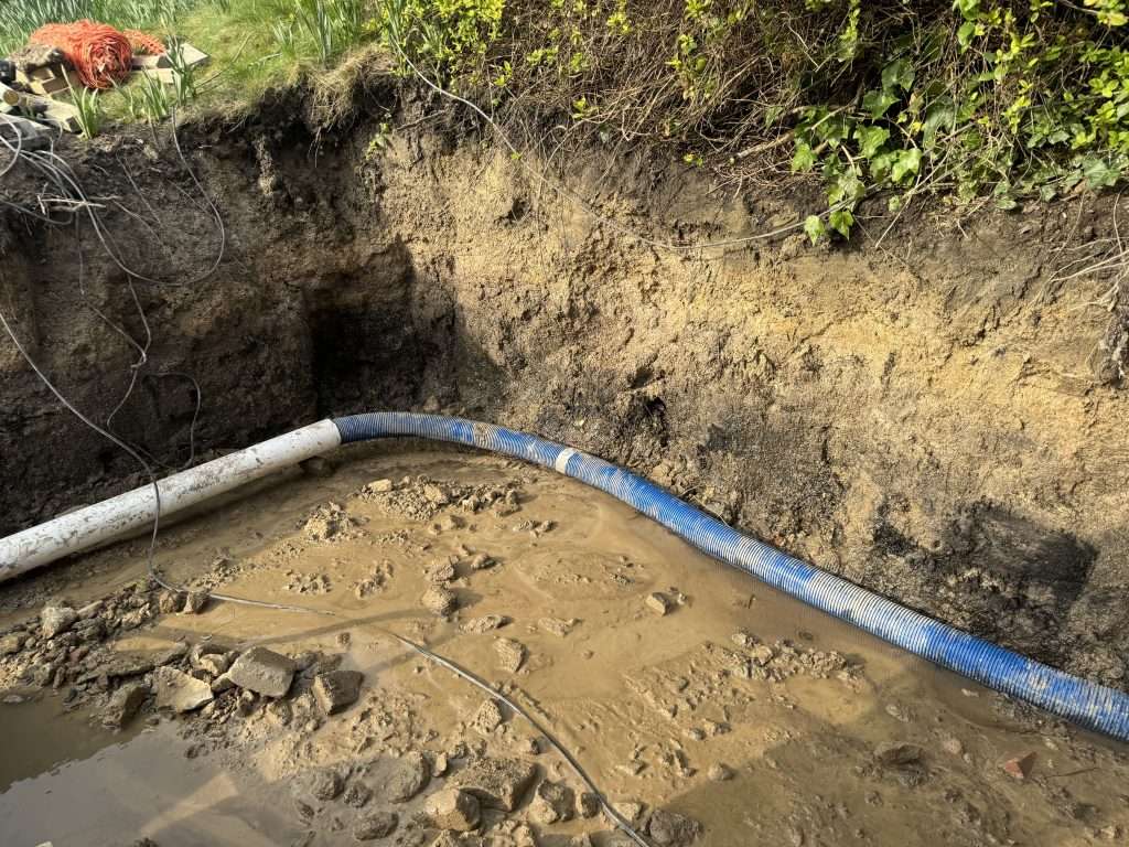
RIDA Reports identifies underground water risk in detail and designs solutions that stop flooding before it even starts.
Our chartered engineers check whether BS 8102 basement waterproofing or an internal sump pump is needed. Recommended solutions include:
- Passive drainage designs to channel water away
- Pumping systems for low-lying areas
- Waterproof membranes installation
- Raised floor levels
Sustainable drainage systems (SuDS)
Our basement Reports give the best opportunity to get Planning Permission
Our groundwater flood risk assessment reports are performed in extreme depth, cover all flood sources and meet current planning policies, including climate change allowances.
We use the latest British Geological Survey groundwater data to inform our assessment.
You receive site maps, data analysis and clear conclusions tailored to your development.
Rapid 48-Hour Turnaround
You will receive an initial groundwater flood risk assessment report within 48 hours. This quick turnaround keeps your project on time,especially when you have a tight deadline.
You can use the initial report to register and validate your planning application. The initial report can be used by your design team to stay informed from day one.
Advanced GIS and Modelling Analysis
Geographic information systems (GIS) and computer-aided software are used for a complete analysis of flood risk on your site to produce the final groundwater flood risk assessment report.
We coordinate with your design team
Throughout our process, we keep you and the design team up to date with our findings so the development gets the best chance to obtain planning permission without any delays or revisions.
RIDA Reports obtains credible data from sources such as the Environment Agency and pairs it with our engineers’ expertise and experiences to produce a planning permission-ready flood risk assessment report.
Our Groundwater Flood Risk Assessment Methodology
Obtain the development’s drawing and levels
Consult the available databases to obtain all relevant data on the flood risk of your site
Liase with the Environment Agency and local planning authorities to ensure policy compliance
Analyse and evaluate the detailed flood risk information for groundwater and river, sea, run off, reservoirs and drainage to cover all sources of flooding.
Provide clear advice and designs to mitigate the flood risk.