
Fast, reliable, evidence-based assessments and drainage solutions


RIDA Reports provides Flood Risk Assessments, flood risk reports for planning, drainage strategies, and river modelling services specifically tailored to support planning consultants across England. Our reports are prepared to meet national planning policy, Environment Agency guidance, and local authority requirements, with outputs structured clearly for planning submission, technical review, and determination.
Our work is underpinned by extensive flood datasets, including over 300 flood models across England and the complete Product 6 flood level data for Greater London. This enables us to deliver clear, evidence-based conclusions that withstand technical scrutiny, reduce planning risk, and support efficient decision-making.
Flood Risk Assessments are prepared in line with the NPPF, Planning Practice Guidance, Environment Agency requirements, and local planning policy. Each FRA provides a structured, planning-ready assessment of:
Drainage strategies are developed to support planning applications and downstream delivery. Services include:
Our drainage outputs are proportionate, policy-aligned, and suitable for planning approval.
Where required, bespoke modelling supports robust planning justification, including:
This is particularly valuable for constrained sites or where planning objections are anticipated.
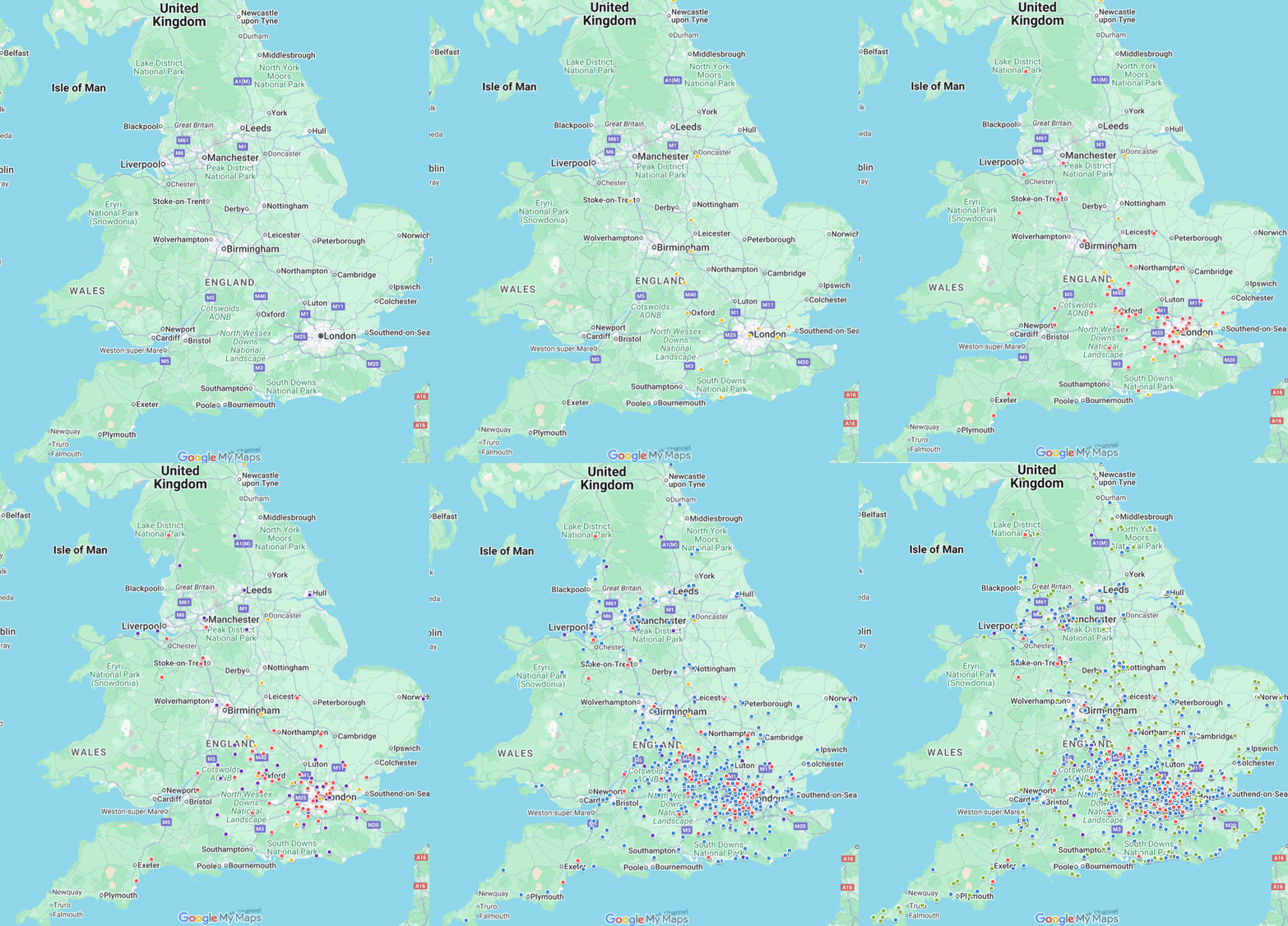
An interactive map can be embedded to demonstrate:
Policy-aligned, data-led, and delivered at industry-leading speed
Flood Risk Assessments in as little as 48 hours • Drainage strategies in 5 working days


Where required by planning policy, FRAs provide site-specific evidence of flood risk and mitigation to support decision-making.
Yes. All reports are aligned to local policy, guidance, and officer expectations.
Yes. Early technical input helps reduce planning risk and identify potential constraints before submission.
More comprehensive data reduces uncertainty and strengthens the technical basis of planning submissions.
A flood risk report for planning provides site-specific evidence of flood risk, policy compliance, and mitigation measures to support planning decision-making. It forms a key part of planning submissions where flood risk must be addressed.