
24 Mowbray Road TW10 7NQ
The Brief
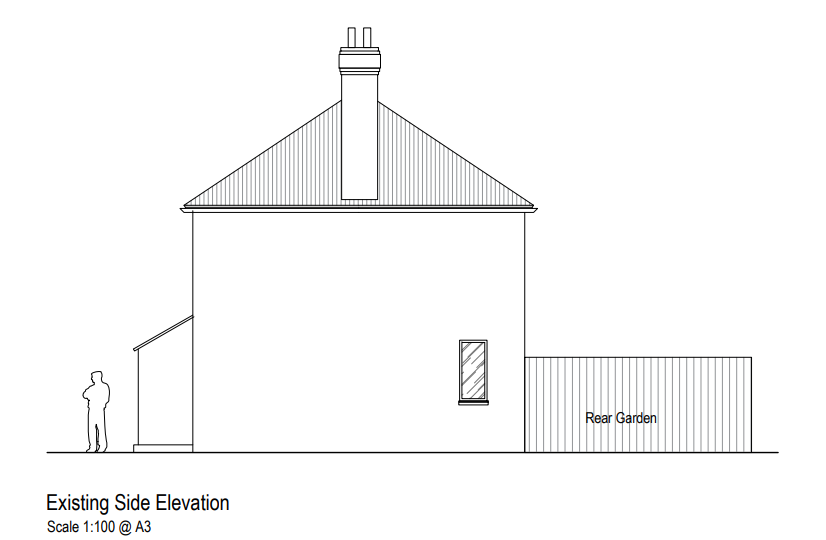
RIDA Reports Ltd was appointed to undertake a detailed flood risk assessment for a proposed residential development at 24 Mowbray Road, Ham, Richmond (TW10 7NQ). The project involves the construction of a rear extension to an existing single-family dwelling, designed with brickwork to seamlessly match the existing structure. The development’s vulnerability classification is categorised as ‘More vulnerable’, with an estimated design life of 50 to 100 years.
Why the Client Chose RIDA
Securing planning permission for a residential extension within an active flood zone requires a robust understanding of both national policies and local environmental frameworks. The client required a specialist consultancy capable of evaluating site-specific hazards and ensuring strict compliance with the London Borough of Richmond upon Thames Strategic Flood Risk Assessment (SFRA). RIDA was selected for its proven expertise in delivering practical, tailored assessments that provide the essential technical evidence necessary to confidently support household planning applications.
The Challenge
The primary constraint for the site was its location within River Flood Zone 2, indicating a medium probability of fluvial flooding from the River Thames, which is situated approximately 847 metres away. Additionally, British Geological Survey records identified a medium risk of groundwater flooding occurring below ground level. This risk is influenced by the site’s specific geology, which consists of the London Clay Formation overlaid by the Kempton Park Gravel Member—designated as a Secondary Aquifer Type A. The core challenge was to demonstrate that the new ‘More vulnerable’ extension could be safely built over its lifetime without disrupting subsurface water flows or exacerbating flood risks for neighbouring properties.
The RIDA Difference
RIDA conducted a detailed flood risk assessment, meticulously evaluating the site against Environment Agency flood maps, British Geological Survey records, and the Richmond upon Thames SFRA guidelines. To address the medium probability of fluvial flooding associated with Flood Zone 2, the team established that the development is appropriately located and complies with the National Planning Policy Framework (NPPF) sequential risk-based approach. Furthermore, RIDA systematically evaluated the site’s underlying geology to appropriately qualify and manage the identified medium risk of below-ground groundwater flooding, ensuring the extension’s footprint would not negatively impact the local hydrological regime.
The Outcome
The detailed assessment successfully demonstrated that the proposed rear extension could be safely accommodated on the site. By thoroughly addressing the fluvial constraints of Flood Zone 2 and the site-specific groundwater vulnerabilities, RIDA ensured the development would remain safe throughout its 50 to 100-year design life without increasing flood risk elsewhere. The comprehensive report provided the robust, policy-compliant technical justification required to support the client’s planning application.