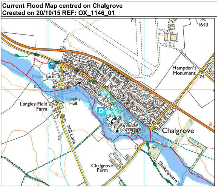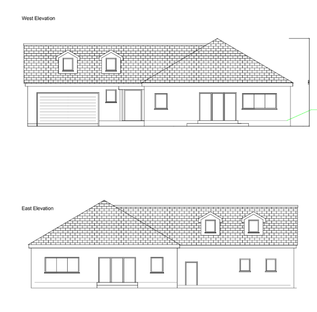
Land to the south of Langley Hall, Mill Lane,
The Brief
RIDA was appointed to undertake a detailed flood risk assessment for a proposed residential development on land to the south of Langley Hall, Mill Lane, Chalgrove (OX44 7SL). The project involves the construction of two new residential dwellings on a 900 square metre greenfield plot. Classified as a ‘More vulnerable’ development with an estimated lifespan of 50 to 100 years, the site required comprehensive hydrological analysis to ensure long-term safety and sustainability.
Why the Client Chose RIDA
Navigating the complexities of planning applications within higher-risk flood zones demands specialised technical expertise. The client required a consultancy with a proven track record in addressing stringent National Planning Policy Framework (NPPF) regulations, specifically the ability to provide robust sequential and exception testing alongside viable mitigation strategies to support their planning submission.
The Challenge
The primary constraint for this greenfield site was its location within Environment Agency Flood Zone 3, indicating a high probability of fluvial flooding from a nearby tributary of the River Thames. Consequently, the development was subject to rigorous planning requirements, including the need to pass both the Sequential and Exception Tests under the NPPF. While the risk of groundwater, surface water, and reservoir flooding was determined to be very low, the site required an established finished floor level significantly above the existing ground level to mitigate the primary fluvial threats. Furthermore, the development needed a surface water management strategy that would not increase flood risk elsewhere or disrupt existing flood flow conveyance along the proposed access route.
The RIDA Difference
To address these challenges, RIDA conducted a detailed flood risk assessment, applying a stage-discharge method to calculate the 1 in 100-year fluvial flood level plus a 30% climate change allowance, establishing a design flood level of 64.43m AOD. To mitigate this high fluvial risk, a ‘water exclusion strategy’ was specified, setting the finished floor levels (FFL) at 64.73m AOD—providing a 300mm freeboard above the design flood level.
RIDA recommended incorporating flood-resilient construction materials with low permeability, such as solid external walls and closed-cell floor insulation, alongside ensuring that all utility services are installed above the predicted flood level. To manage surface water run-off and preserve flood storage, the assessment proposed the integration of Sustainable Drainage Systems (SuDS), including permeable surfaces and infiltration devices. Furthermore, to maintain flood flow conveyance, the strategy dictated that the access road must retain its existing ground level rather than being raised. Through these robust mitigation measures, RIDA successfully demonstrated that the proposal provides wider sustainability benefits, thereby passing the Exception Test.
The Outcome
The detailed flood risk assessment successfully demonstrated that the site can be developed safely in accordance with the NPPF and Environment Agency requirements. By establishing clear flood mitigation and resilience strategies, alongside identifying a viable safe egress route via Mill Lane, the report provided the necessary technical evidence to support the client’s planning application without increasing flood risk to the surrounding area.