
Flood Risk Assessment Derby
Our Flood Risk Assessments in Derby ensure that new developments meet planning policies for flood risk

Flood Risk Assessment Across Derby
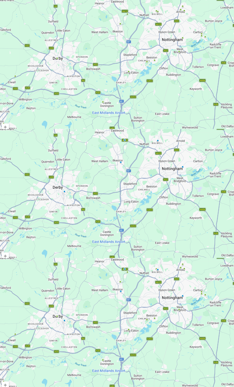
We support flood risk assessment projects across Derby and the surrounding area, covering a range of towns and locations with varying planning requirements and flood risk considerations. Our experience working across different site conditions and local authorities allows us to provide clear, tailored advice for each site.
Our work includes projects across:
- Allestree, Mickleover and Littleover
- Spondon, Borrowash and Alvaston
- Chellaston, Sinfin and surrounding areas
- Etwall, Willington and Repton
- Castle Donington and East Midlands Airport area
Flood Risk Assessment Derby
Flood risk assessment costs in Derby depend on the size, location and complexity of your site. Find some of our prices below.
Flood Risk Appraisal
Any size development
Details site potential within the floodplain before making an investment decision or starting your master plan design
Flood Risk Assessment – Extensions and Change of Use
Developments less than 250 square metres within flood zone 2 or 3
Flood Risk Assessment – Single Dwelling
Developments less than 1,000 square metres within flood zone 2 or 3
Flood Risk Assessment – Minor Development
Developments less than 2500 square metres within flood zone 2 or 3
Learn more about flood risk assessment cost and what factors influence pricing across different development types.
RIDA's Reports Flood Risk Assessments Projects
in Derby
We understand Derby’s flood risk landscape and provide the expert assessments you need to move your planning application forward.
Our Projects
Our Clients


What Our Customer Says
Steve Morley
MDA Wirral Ltd
We have a long association with RIDA, this is due to their high standards of professionalism and detailed level of information provided. Always efficient, responsive and reliable working with tight deadlines, highly recommended.
James Cogley
Cogley Structural Solutions
We have had the pleasure of working with Arge at RIDA over several years and throughout this time the experience has consistently been very good. What stands out most is their responsiveness – any queries or issues have always been addressed promptly, which has given us great confidence and peace of mind.
Jon Lipka
M&E Design and Build Ltd
I had an excellent experience with RIDA. From start to finish, their team was professional, responsive, and genuinely committed to customer satisfaction. Communication was clear and consistent, and they went above and beyond to make sure everything was done right on site at Soho Farmhouse.
Understanding Flood Risk in Derby
Flood risk assessment in Derby centres on the River Derwent, which flows directly through the city and has historically been responsible for significant fluvial flooding during prolonged or intense rainfall. Urban expansion and impermeable surfaces further influence the way surface water accumulates, especially across densely developed districts and major road networks. Variations in river levels, topography, and drainage infrastructure all contribute to the flood profile observed across Derby, highlighting the importance of understanding how different catchments interact within an urban environment.
When do you need a Flood Risk Assessment in Derby?
In Derby, a Flood Risk Assessment is often needed where flood risk constraints need to be clearly evidenced within planning applications and demonstrate that a proposal is appropriate. The requirement is commonly driven by flood zone mapping, site size thresholds, and whether the development introduces a more vulnerable use.
Common scenarios include:
- Development in Flood Zones 2 or 3: If your site in Derby is within Flood Zone 2 or Flood Zone 3, an FRA is typically expected to accompany the planning submission.
- Sites over a certain size: Planning applications in Derby for sites of 1 hectare (10,000m²) or more often require an FRA even outside higher-risk flood zones.
- Change of use: An FRA may be required where the proposal changes the use to something more vulnerable, particularly residential.
- Basement extensions: Basement works can trigger an FRA where below-ground space increases the need to demonstrate flood safety and resilience.
If your site falls within these higher-risk areas, planners are likely to ask for a formal FRA before approving your application.
Flood Risk Assessment Consultants Derby
Flood risk assessment consultants in Derby provide practical, site-specific advice to support planning applications, feasibility studies and development projects across the District.
Planning-Ready Flood Risk Assessments
Our engineering team delivers Flood Risk Assessment Reports that assess and address flood risk for your development site, prepared in line with what local planners expect to see.
Flood Risk Analysis & Mitigation
We assess all relevant flood sources, apply the latest climate change allowances, and identify the right mitigation measures so your development meets planning requirements and is built to last.
Derby Expertise & Local Experience
We’ve spent a lot of time working on sites across Derby from Mickleover and Allestree to Borrowash and Castle Donington. That experience means we understand how flood risk plays out differently across the city, and how to write assessments that hold up with local planners.
What is included in a planning-ready Flood Risk Assessment in Derby?
- Flood risk classification relevant to the site location
- Review of mapped flood data and planning constraints
- Assessment of vulnerability and development compatibility
- Outline mitigation principles where required
- Clear planning-focused conclusions and recommendations
- Identification of key flood risk considerations for planning submission
Benefits of our Flood Risk Assessments in Derby
Flood risk assessments provide a detailed analysis of all potential flood sources, offering tailored mitigation strategies for your development in Derby. You’ll receive clear, specific, and expert report which:
Meets the local and national planning policies
Costs effective in the mitigation of flood risk
Enables you to make informed changes to the design and achieve planning
Safeguard your development from flooding throughout its lifetime
Who we help with our Flood Risk Assessments in Derby?
In Derby, we prepare Flood Risk Assessments to support planning applications where the authority expects a clear technical narrative. Key findings are surfaced early, with supporting detail arranged so a reviewer can trace how conclusions were reached. If the authority raises queries, revisions are kept tight so the submission remains coherent.
Typical clients:
- Homeowners in Derby who want a clear report that supports their planning applications without overcomplicating the submission.
- Architects in Derby coordinating submission documents who need a report that matches proposal parameters and layout logic.
- Planning consultants coordinating technical inputs in Derby who value clear scope boundaries and easy-to-reference sections.
- Developers in Derby seeking professional reports that integrate cleanly across multidisciplinary teams.
Local Planning Context for Flood Risk in Derby
Within Derby, flood risk forms one element of the overall planning decision-making process, alongside design, site constraints, and infrastructure considerations. A Flood Risk Assessment helps demonstrate to the local authority that flood-related issues have been properly considered.
Key guidance and local resources include:
Secure your Flood Risk Assessment today and avoid costly planning setbacks
FAQS
Yes. Derby has a long history of flooding, largely driven by the River Derwent. Flood events have become more frequent in recent years — Storm Babet in 2023 broke all previous river level records, impacting large parts of the city.
If you're developing in Derby, a Flood Risk Assessment is likely to be required by Derby City Council as part of your planning application.
If your site is in Flood Zone 2 or 3, or is over 1 hectare in Flood Zone 1, Derby City Council will require a Flood Risk Assessment as part of your planning application. Check your flood zone here
The highest risk areas are those closest to the River Derwent, including Darley Abbey, Pride Park, Alvaston and the city centre. Surface water flooding also affects wider areas including Chaddesden, Spondon, Chellaston and Sinfin. If you're unsure about your site, we can check it for you quickly and at no cost.
Yes. A well-prepared Flood Risk Assessment demonstrates to Derby City Council that flood risk has been properly considered and can be managed.
At RIDA Reports we write reports specifically to satisfy planning requirements, giving your application the best chance of approval.
Depending upon the scale, the location of your proposed development and its complexity a Flood Risk Assessment could take anywhere from a few days for smaller residential schemes to weeks or longer for larger developments with greater risks associated with them.
At RIDA Reports, we offer a 48-hour turnaround for many projects where the required site data is readily available.