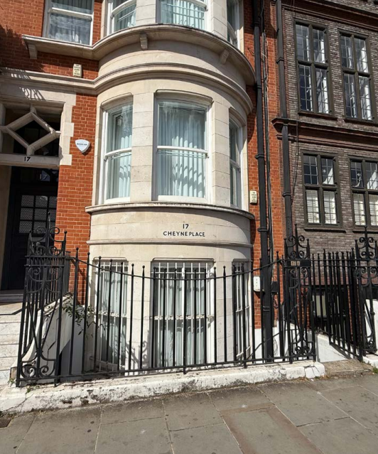
17 Cheyne Place, London
The Brief
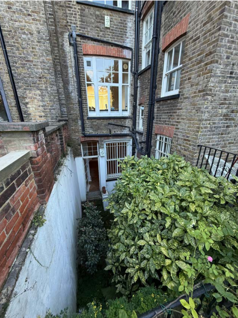
RIDA Reports Ltd was appointed to undertake a detailed flood risk assessment for a proposed residential development at 17 Cheyne Place, London (SW3 4HJ). The project involves the construction of a rear extension and the partial lowering of the rear section of an existing lower ground floor flat, alongside modifications to the rear terrace. The development’s vulnerability classification is categorised as ‘More vulnerable’, with an estimated design life of 50 to 100 years.
Why the Client Chose RIDA
Extending and partially lowering a subterranean floor plan in a high-risk urban environment demands rigorous technical evaluation and a clear understanding of local planning frameworks. The client required a specialist consultancy capable of delivering a comprehensive assessment to evaluate complex, multi-source flood constraints. RIDA was selected for its proven expertise in navigating the National Planning Policy Framework (NPPF) and the Royal Borough of Kensington and Chelsea’s Strategic Flood Risk Assessment, ensuring the delivery of robust technical evidence to support the planning application.
The Challenge
The site presented a complex combination of flood risks. It is located in River Flood Zone 3, situated approximately 178 metres from the River Thames, indicating a high probability of fluvial and tidal flooding. Additionally, mapping identified that the site faces a high risk of surface water flooding and is located within a designated Critical Drainage Area. Because the proposals involved excavating and lowering a lower ground floor situated over a Secondary Aquifer Type A, there was also an identified vulnerability to groundwater flooding below ground level. The challenge was to demonstrate that these overlapping constraints could be safely managed without putting occupants at risk or increasing flood risk elsewhere.
The RIDA Difference
RIDA conducted a detailed flood risk assessment, meticulously evaluating the site against Environment Agency data, British Geological Survey records, and local council flood maps. To evaluate the tidal threat of Flood Zone 3, the team analysed Thames Tidal Upriver Breach Modelling. This confirmed that during an extreme event factoring in climate change to the year 2100, the maximum flood level of 5.195m AOD would remain 0.9 metres below the site’s elevation, ensuring no impact on the development’s finished floor levels. To address the strict requirements of the Critical Drainage Area and mitigate surface water risks, RIDA outlined the necessary integration of Sustainable Drainage Systems (SuDS). Furthermore, the team assessed the local geology to qualify the potential groundwater flooding risks associated with the lowered lower-ground floor section.
The Outcome
The detailed assessment successfully demonstrated that the rear extension and floor-lowering works could be safely accommodated on the site. By confirming that the property sits safely above extreme tidal breach levels and outlining appropriate strategies to manage surface water and groundwater vulnerabilities, RIDA ensured the development would remain secure over its design life without causing adverse off-site impacts. The comprehensive report delivered the robust, policy-compliant technical justification required to fully support the client’s planning application.