Call Us

01608 510 121

Email Us

admin@rida-reports.co.uk

Flood Risk Assessments, Flood Risk Reports & Drainage Strategies for Planning Consultants

Fast, reliable, evidence-based assessments and drainage solutions


Years Of Experience
0 +

RIDA Reports provides Flood Risk Assessments, flood risk reports for planning, drainage strategies, and river modelling services specifically tailored to support planning consultants across England. Our reports are prepared to meet national planning policy, Environment Agency guidance, and local authority requirements, with outputs structured clearly for planning submission, technical review, and determination.

Our work is underpinned by extensive flood datasets, including over 300 flood models across England and the complete Product 6 flood level data for Greater London. This enables us to deliver clear, evidence-based conclusions that withstand technical scrutiny, reduce planning risk, and support efficient decision-making.

Our Flood Risk & Drainage Services for Planning Consultants

Flood Risk Assessments (FRA)

Flood Risk Assessments are prepared in line with the NPPF, Planning Practice Guidance, Environment Agency requirements, and local planning policy. Each FRA provides a structured, planning-ready assessment of:

Reports are written to be easily reviewed by planning officers, LLFAs, and statutory consultees. Each assessment functions as a flood risk report for planning, structured to support validation, technical review, and determination by planning authorities.

Drainage Design & Strategy

Drainage strategies are developed to support planning applications and downstream delivery. Services include:

Our drainage outputs are proportionate, policy-aligned, and suitable for planning approval.

River Modelling & Hydraulics

Where required, bespoke modelling supports robust planning justification, including:

This is particularly valuable for constrained sites or where planning objections are anticipated.

Our Data Advantage — Your Competitive Edge

Comprehensive Flood Risk Data

  • Over 300 flood models spanning most of England
  • High-resolution datasets that reduce uncertainty and strengthen risk statements
  • Direct inputs into FRAs, mitigation design, and Sequential / Exception Test justification

London’s Complete Product 6 Flood Levels

  • Full Product 6 dataset for Greater London
  • Enhanced accuracy for urban development risk assessment
  • Supports robust justification where local authority scrutiny is high

Our Expertise

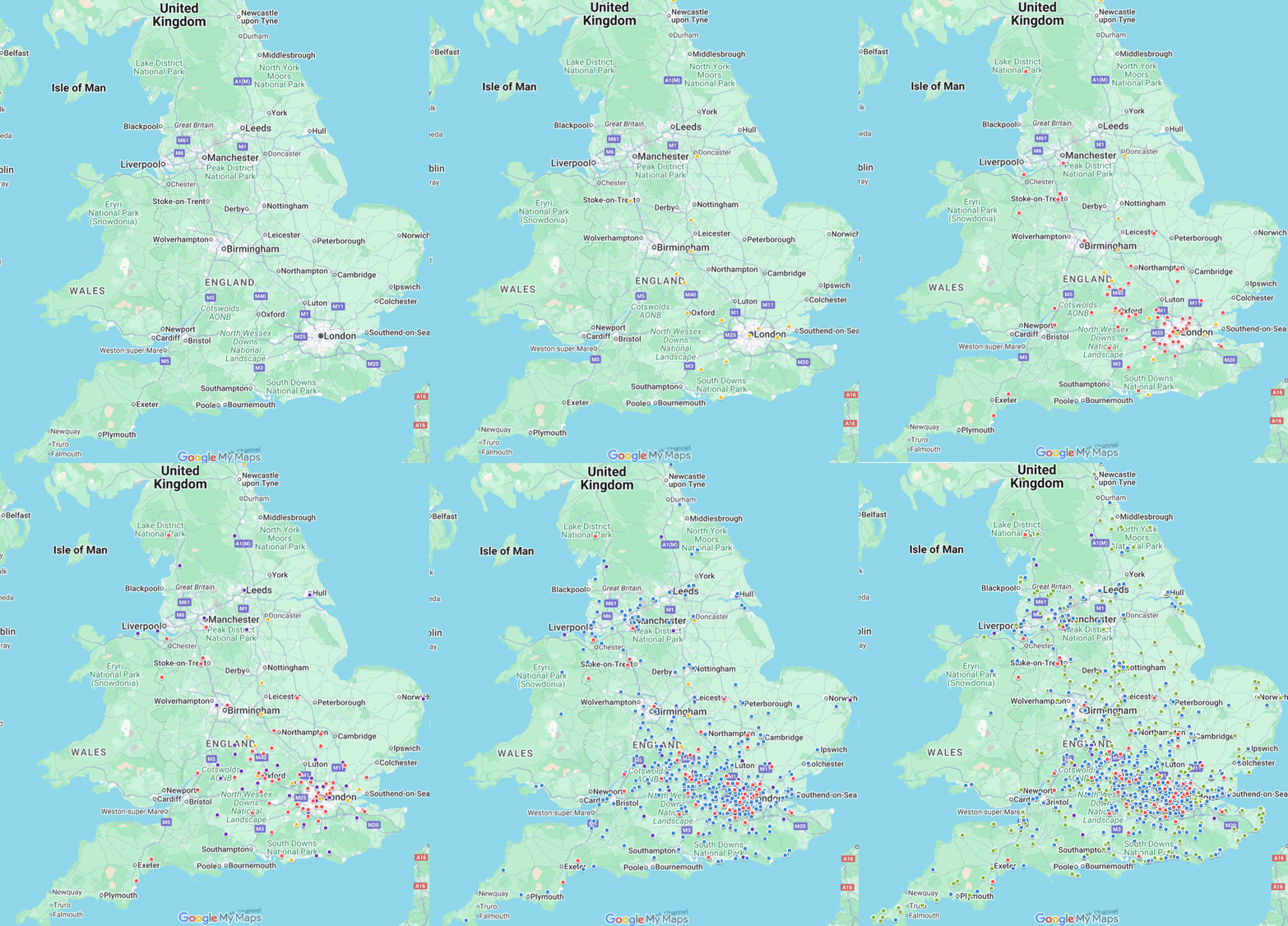
An interactive map can be embedded to demonstrate:

  • Completed Flood Risk Assessments 
  • Drainage strategies delivered
  • Project locations by local authority or flood zone

Our Process

Step 1

Project Brief & Planning Context

Planning consultants provide site information, drawings, and planning background. We confirm planning requirements, flood risk context, and the appropriate scope of assessment.

Step 2

Data Review & Flood Risk Assessment

All relevant flood sources are reviewed, flood model data integrated, and site-specific constraints identified. Flood risks are assessed with proportionate, policy-aligned mitigation measures clearly set out.

Step 3

Drainage Strategy & Technical Design

Compliant drainage layouts, SuDS proposals, and supporting calculations are prepared where required to support planning approval and downstream delivery.

Step 4

Planning-Ready Delivery & Consultee Support

The final Flood Risk Assessment, drainage strategy, or modelling report is issued in a format suitable for submission. Technical support is provided to respond to queries from LPAs, LLFAs, and the Environment Agency.

Why Planning Consultants Prefer RIDA Reports

Policy-aligned, data-led, and delivered at industry-leading speed

Flood Risk Assessments in as little as 48 hours • Drainage strategies in 5 working days
Flood Risk Assessments That Pass

  • Aligned with NPPF, PPG, and local authority expectations
  • Clear outcomes supported by robust data and narrative
  • Structured specifically for planning submissions
  • Flood risk reports for planning with clear policy compliance and risk justification

Drainage Design with Constructability in Mind

  • Surface water strategy and SuDS design
  • Technical schedules, calculations, and layout drawings
  • Ready for coordination with civil engineering teams

River Modelling & Fluvial Assessments

  • Bespoke hydraulic and hydrologic models 
  • Flood conveyance and culvert / bridge impact assessment 
  • Informed, defensible mitigation proposals

Interactive Map: Real Projects, Real Coverage

Explore completed flood risk assessments and drainage designs across the UK.

Our Clients

Trusted by Planning Practices Across England:

Jon Lipka M&E Design and Build Ltd

“I had an excellent experience with RIDA. From start to finish, their team was professional, responsive, and genuinely committed to customer satisfaction. Communication was clear and consistent, and they went above and beyond to make sure everything was done right on site at Soho Farmhouse.”

Steve Morley MDA Wirral Ltd

“We have a long association with RIDA due to their high standards of professionalism and the detailed level of information provided. Always efficient, responsive, and reliable when working to tight deadlines.”

Frequently Asked Questions - Planning Consultants

Where required by planning policy, FRAs provide site-specific evidence of flood risk and mitigation to support decision-making.

Yes. All reports are aligned to local policy, guidance, and officer expectations.

Yes. Early technical input helps reduce planning risk and identify potential constraints before submission.

More comprehensive data reduces uncertainty and strengthens the technical basis of planning submissions.

A flood risk report for planning provides site-specific evidence of flood risk, policy compliance, and mitigation measures to support planning decision-making. It forms a key part of planning submissions where flood risk must be addressed.

Fastest in the UK: FRA in 48 Hours | Drainage in 5 Days