
Our assessments ensure that new developments meet planning policies for flood risk
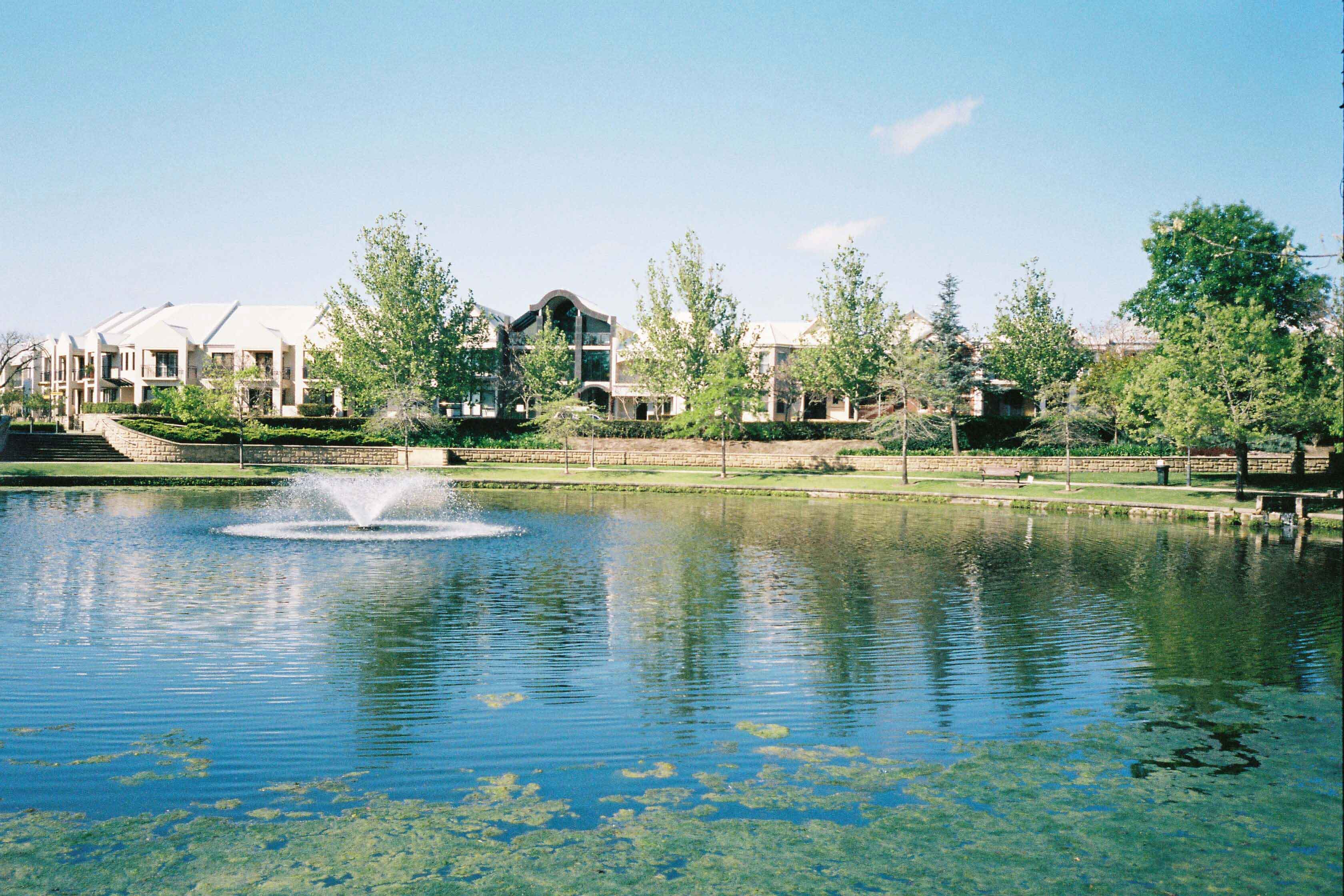
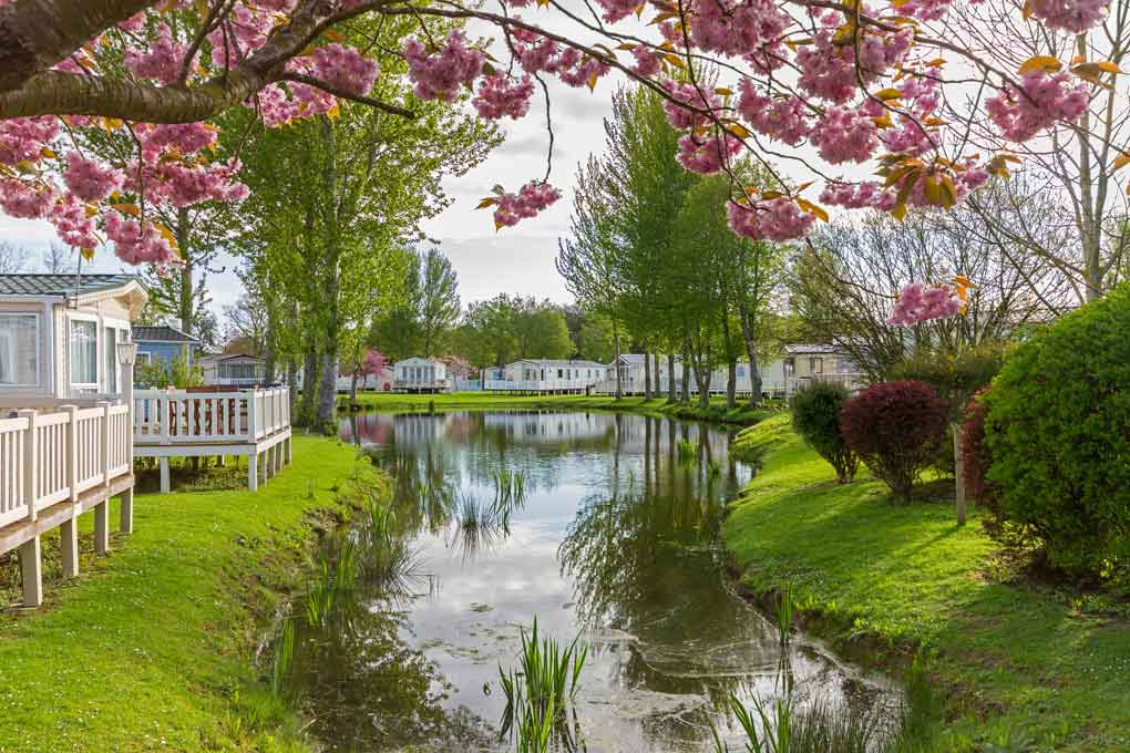
Flood risk assessment in Babergh reflects its rural Suffolk setting, bordered by the River Stour and River Orwell. The district’s floodplains, estuaries, and low-lying agricultural landscapes are naturally prone to both tidal and fluvial flooding, often affecting villages, farmland, and historic areas. Careful planning, together with improved drainage, active riparian maintenance, and reinforced flood defences, plays a pivotal role in reducing these hazards and supporting long-term resilience for local communities.
Flood risk assessments provide a detailed analysis of all potential flood sources, offering tailored mitigation strategies for your development in Babergh. You’ll receive clear, specific, and expert report which:
Meets the local and national planning policies
Costs effective in the mitigation of flood risk
Enables you to make informed changes to the design and achieve planning






Join the hundreds of architects, planners, and developers who trust our expert flood risk assessments to provide the clear technical data and engineering judgment needed to get their UK developments underway in Babergh.
Any size development
Details site potential within the floodplain before making an investment decision or starting your master plan design
Developments less than 250 square metres within flood zone 2 or 3
Developments less than 1,000 square metres within flood zone 2 or 3
Developments less than 2500 square metres within flood zone 2 or 3
According to DEFRA’s flood risk data, 1,420 properties in Babergh (2.39%) may be vulnerable to flooding from rivers and the sea, while 8,630 properties (14.54%) may be exposed to surface water flooding. This distribution highlights the importance of recognising surface water behaviour as a key consideration across the district’s rural and estuarine landscapes. Incorporating these findings into planning processes ensures that development is appropriately located, designed, and supported by suitable mitigation. A detailed flood risk assessment provides decision-makers with essential context, helping to manage long-term flood challenges and improve resilience for homes, heritage areas, and infrastructure.
Torrential rainfall from Storm Babet caused river and surface-water flooding in parts of Babergh, affecting communities near Sudbury and Hadleigh; Suffolk Resilience Forum declared a major incident.
Roads in Sudbury experienced severe surface-water flooding; Suffolk County Council confirmed emergency road closures and drainage investigations.
Environment Agency update showed no flood warning in force. Note: These do not indicate active flooding but show how at-risk areas are continuously monitored.
Yes, in Babergh many higher-risk areas lie along the River Stour and River Brett valleys, though surface-water flooding can also affect rural lanes and market towns; check your exact location on https://www.gov.uk/check-long-term-flood-risk.
In Babergh, FRAs for development beside the River Stour or along the estuary should set out design flood levels, freeboard, climate‑change allowances and how the scheme will avoid loss of floodplain storage.
If Babergh homeowners think their drains are causing or worsening flooding, they should arrange for a professional inspection of private drains, clear any blockages, and repair defects. They should also report repeated flooding on streets or public land to the local authority or relevant utility company so that public drainage systems can be checked.
Homeowners in Babergh can use the national flood-alert website to search by postcode, view warnings that apply to their stretch of river or catchment, and register to receive future alerts as soon as they are issued. https://check-for-flooding.service.gov.uk
Flood Risk Assessments for this district should be prepared by specialists in flood-risk or drainage. Basic minor works can sometimes be assessed by the applicant, but more complex schemes require expert analysis. RIDA Reports provides this service throughout Amber Valley.