

Flood risk planning is a key part of any development in England because of flood risk from rivers, the sea, surface water and groundwater, among other sources. Flood risk planning in England includes checking the flood zone of your area, performing flood risk assessment and if required, sequential and exceptional tests.
The planning authorities in England mostly reject planning applications in flood zones 2 and 3 or at risk of any flooding without an FRA or with an inadequate FRA. This guide covers the flood risk of England and how to effectively plan for it.
How Flood Risk Affects Planning Decisions In England
England faces flood risk from rivers, the sea, surface water, groundwater and reservoirs. In addition to this growing housing demand, climate change is adding to flood risk. For this reason, the National Planning Policy Framework (NPPF) has set strict planning rules.
The NPPF states that the lowest risk zones should always be prioritised for development, and high risk zones should only be considered in exceptional cases. It has also made it mandatory to perform a flood risk assessment for any development in zones 2 and 3 or affected by any flood risk. NPPF also emphasises the Sequential test and the exception test.
The sequential test is performed to first find a low-risk zone and secondly prove that there is no low-risk zone available. In terms of the exception test, it is performed to prove that the development in a high-risk flood zone will be sustainable and protected for a lifetime.
Lead Local Flood Authority and the Environment Agency utilise flood risk assessment reports for decision-making and application approval. In the case of no flood risk assessment, you may face high chances of planning application rejection in flood zones 2 and 3.
When Is a Flood Risk Assessment (FRA) Required?
A flood risk assessment is a site-specific study carried out by a qualified consultant to assess flood risk and propose measures to mitigate the risk. A flood risk assessment typically includes
- Identifying all flood sources
- Proposing mitigation strategies
- Assess how climate change will affect flood risk over time.
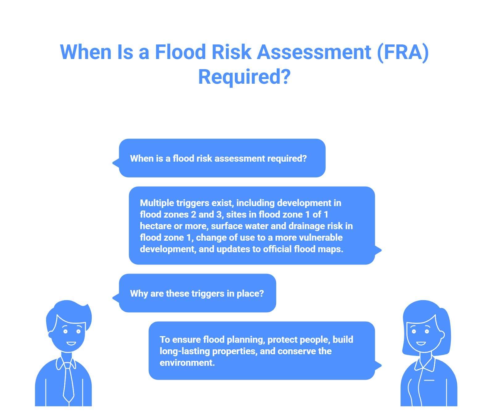
There are multiple triggers for a flood risk assessment, and we will look at them all one by one:
- Flood Zones: Any development in flood zones 2 and 3 needs a flood risk assessment.
- Site Size: if the development site is in flood zone 1, but it is 1 hectare or more, it has to go through a flood risk assessment for planning permission
- Surface water and drainage risk: If a flood map for planning shows flood risk from surface water in zone 1 or locals flag a site for future flood risk due to climate change, a flood risk assessment will be required
- Change of Use: If changing a less vulnerable building, like a parking lot, into a vulnerable development, such as a school or a home, a flood risk assessment will be required.
- Official Map update: If the Environment Agency updates its flood map for planning and a previously risk-free zone is flagged high-risk zone, a flood risk assessment will become mandatory.
These triggers for flood risk assessment are there to ensure flood planning at best. To protect people living in England, build long-lasting properties and also conserve the environment.
What’s Included in a Flood Risk Assessment by RIDA Reports
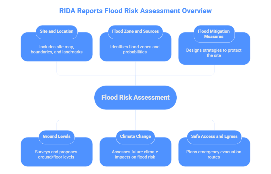
RIDA Reports perform site-specific comprehensive flood risk assessment, according to official flood policies by NPPF and the guidelines of the Environment Agency. Our flood risk assessment includes:
- Site and Location: We include a map or plan of the site, which shows boundaries, nearby rivers and drains, flood defences and major landmarks. It also includes information about the current site plan and possible layout for the development.
- Ground Levels: We perform a detailed survey to understand the predicted flood levels by EA for a specific site and include our proposed ground and floor levels. Making sure the development floor levels are higher than the predicted length of flood that can reach a site.
- Flood Zone and Sources: Our FRA states the flood zones and clearly tells in which zone the site lies. We also study all possible sources of flooding along with their probability and include them in the site-specific flood risk assessment.
- Climate Change: Our engineers take extra measures to understand future climate change and include this information in the FRA. Our goal is to clearly depict how future climate change will affect the flood risk of the site.
- Flood Mitigation Measures: Our Engineers provided mitigation measures to protect the site from flooding for a lifetime. It may include designing strategies and Sustainable Drainage systems to protect the property and manage flood water.
- Safe Access and Egress: We also include safe site access and egress during a flood. We include emergency plans showing safe evacuation routes to dry land.
In summary, our flood risk assessment is a mix of modelling and planning. It typically follows a checklist in guidance.