Flooding in London, UK is becoming more of a reality for locals, companies, and legislators rather than merely a theoretical worry.
The city is shielded from tidal surges by the Thames Barrier, but surface water flooding brought on by excessive rainfall and overloaded drainage systems is becoming more common, especially in urban areas.
It is essential to comprehend why flooding occurs, which locations are most susceptible, and how to get ready. Using information from RIDA Reports, a top flood risk assessment service, this guide examines London’s flood hazards, their causes and doable safety measures that locals might take.
Despite strong defences, London faces multiple flood risks. According to Environment Agency, over 540,000 properties are at medium or high risk of surface water flooding, while around 27,800 are at high risk from river or tidal flooding.
Monitoring real-time data is essential, and residents can do this via the gov.uk Flood Information Service.
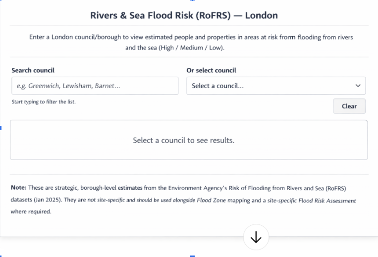
You can check the number of properties and people affected by flooding in each borough.
Why is London flood increasing?
Impact of climate change
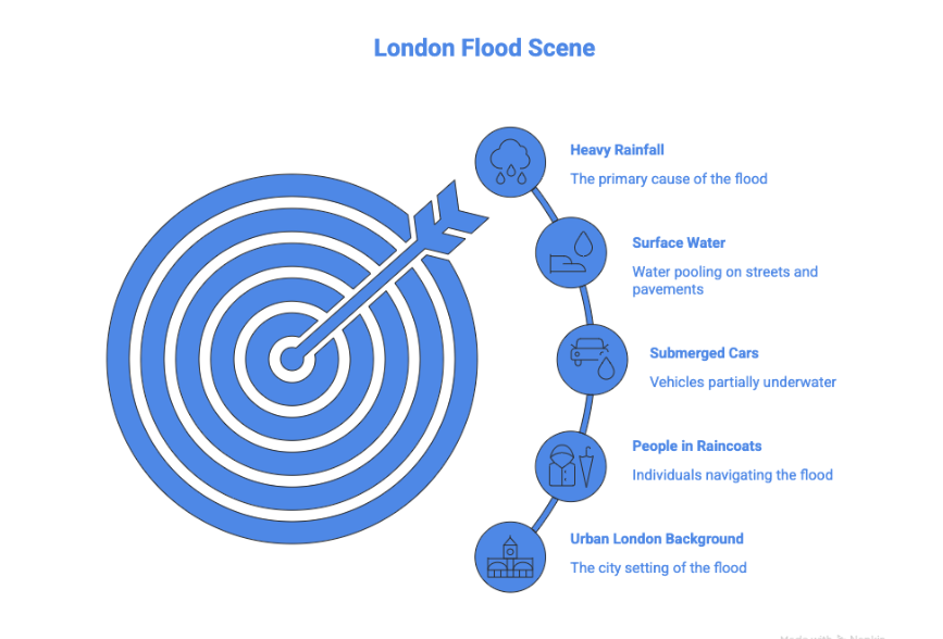
One of the main causes of flooding in London, UK is climate change. The city’s drainage systems are overloaded by heavier rains and wetter winters.
By 2100, sea levels in the Thames Estuary are predicted to increase by as much as 1.15 metres, greatly raising the risk of tidal floods (London Climate Change Resilience Review)
Urbanisation and concrete surfaces
Rainwater cannot naturally seep into the ground in London’s dense metropolitan districts because of the concrete, asphalt, and paved surfaces. Surface water flooding results from water rushing into drains that are unable to handle it.
This problem is made worse by new construction that lacks adequate drainage. In order to prevent property loss, RIDA Reports emphasise the significance of site-specific flood risk assessments.
Types of flooding in London
Type | Cause | Notes |
Tidal flooding | Storm surges are pushing water up the Thames | Mitigated by the Thames barrier |
Fluvial flooding | Rivers overflowing their banks | Includes tributaries like the Thames, Lea and Wandle |
Surface water flooding | Heavy rainfall overwhelming drains | Most common flooding in modern London |
Groundwater and reservoir flooding | Saturated soil or dam/reservoir overflow | Less frequent, but possible in low-lying areas. |
Areas most at risk
Low-lying vulnerabilities
Floodplains along the Thames and its tributaries are historically at higher risk.
Boroughs like Westminster, Kambeth, and Tower Hamlets include zones prone to river and surface water flooding.
High-risk urban zones
Densely built boroughs such as Southwark and Newham face increased surface water risk.
RIDA Reports provides case studies showing how flood risk assessments identify problem areas and recommend mitigation measures like flood-resistant materials and drainage planning.
Role of Thames barrier
About 125km of downtown London are protected from tidal floods by the Thames Barrier. Due to rising tidal surges, it has been closed more than 220 times since 1982.
It does not, however, stop surface water flooding, which continues to be the most frequent danger to buildings and transportation.
How to make a personal flood plan in case of flooding in London
- Register for alerts about flooding
- Determine safe places to store valuables and evacuation routes
- Make sure the plan is understood by the family
Property resilience measures
- Put non-return valves on toilets and sinks
- Make use of flood-resistant building materials, such as sealed airbricks or elevated electrical outlets
- Store important documents in a waterproof container.
RIDA Reports emphasises that property-level flood risk assessments inform tailored mitigation measures, reducing both damage and financial losses.
During a flood
Personal safety should always come first during a flood. Avoid driving or walking over floodwater since even shallow water, about 30 cms or one foot, can be powerful and swift enough to halt a car or knock someone of their feet.
To lower the chance of fire, electric shock or additional property damage, switch off the gas, power and water sources if it is safe to do so.
In the event of floods, you should always heed emergency services’ instructions and pay special attention to alerts and advice from your local authority.
These updates offer vital, up-to-date information on evacuations, road closures, and safety precautions.
Building resilience: Future infrastructure
Sustainable drainage systems(SuDS)
London is adopting a “sponge city” approach. Green roofs, permeable paving and rain gardens absorb water where it falls, reducing surface water flooding.
Modernising sewers
Many Victorian-era sewers cannot handle modern rainfall levels. Infrastructure upgrades, informed by RIDA Reports assessments, increase capacity and reduce flood risk.
Practical case studies
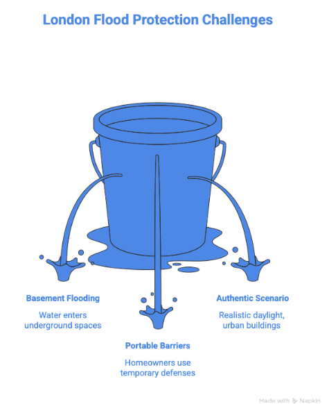
- Southwark, 2019: Sudden surface water flooding damaged streets and basements. Homeowners who had consulted RIDA Reports had non-return valves and raised electrical sockets installed reducing property damage.
- Hackney River Lea, Winter 2021: Small businesses faced fluvial fooding. Those using RIDA Reports’ mitigation recommendations, including portable barriers and sandbags, were able to maintain operations while others closed.
- Residential development in Tower Hamlets: A developer commissioned a flood risk assessment from RIDA Reports before construction. They redesigned ground-level landscaping and installed permeable paving, preventing what would have been significant surface water flooding during heavy rainfall.
These examples demonstrate that planning, preparation and expert guidance can reduce personal and financial impact.
Conclusion
Flooding in London UK, is a persistent problem brought on by urbanisation aging infrastructure, and climate change.
Although central London is protected by tidal barriers like the Thames barrier, hundreds of thousands of residences are currently impacted by surface waterfloods.
Risk reduction requires awareness, planning and property-level resilience.
Businesses and residents should combine property-level evaluations from RIDA Reports with official flood notifications from gov.uk and the Met office.
These evaluations offer useful advice on site-specific mitigation strategies that can stop damage, lower costs, and improve safety.
Londoners can effectively handle flooding by being aware of local dangers, heeding professional advice, and taking proactive measures.
Take action: Use the gov.uk flood information service to assess your flood risk and think about a property-level assessment.