Fastest in the UK: Flood Risk Assessments in 48 Hours • Drainage Strategies in 5 Days.
Climate Change Allowances for Flood-Risk Assessment
Climate Change Allowances for Flood Risk Assessment: Essential Guidance for United Kingdom Planning
Climate change allowances are becoming increasingly important as one of the biggest threats to buildings in the United Kingdom today is flooding. Stronger storms, more rainfall, and rising sea levels are placing areas previously considered low risk under greater pressure, particularly within the context of a flood risk assessment for planning.
Homebuyers, planners, and property owners are increasingly relying on climate change allowances to understand how rainfall, river levels, and sea levels may change over the next 60-100 years. For evaluating long-term flood risk and designing secure, resilient development, these allowances offer an essential framework. Climate change allowances are official projections published by agencies such as the Environment Agency. Ignoring climate change allowances can lead to unsafe design, delayed planning, and costly retrofits.
This guide explains climate change allowances, how they are used in United Kingdom planning and their relevance to property and development decisions.
What are climate change allowances and why they matter?
Planners in the United Kingdom use these allowances to forecast how flooding patterns might change over decades. The main categories include:
Peak River Flow: Expected rises in river levels
Peak Rainfall Intensity: Anticipated periods of heavier precipitation
These forecasts help in making sure that developments, infrastructure and properties are built to withstand changing environmental conditions.
The relevant climate change allowances must be included in all planning applications that are subject to risk of flooding. The assessment demonstrates that the suggested development will not:
Increase chance of flooding in nearby locations
Be unsafe under projected future flood conditions
Planners can guarantee long-term, sustainable growth that complies with regulations by using these estimates.
Understanding the United Kingdom flood risk classification: Flood zones and Vulnerability
Defining United Kingdom flood zones
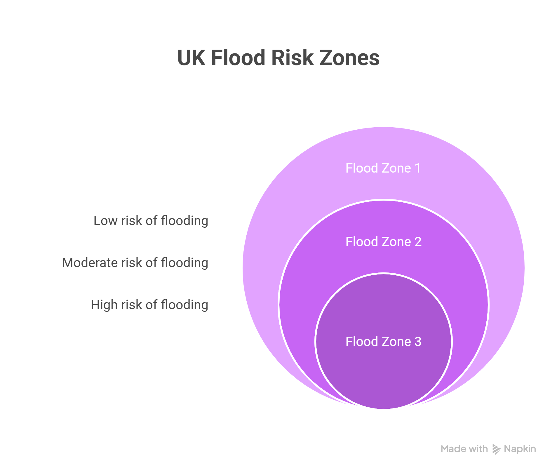
Flood zones categorise regions according to how likely they are to flood
Flood Zone
Likelihood
Planning Considerations
Zone 1
Low
For the majority of developments and changes in use, a flood risk assessment is typically necessary. Make use of the sequential strategy, which directs development toward regions with lesser risk. Development must be compatible with the intended use’s vulnerability;if not take the exception test into consideration. Consider future climate- change allowances where strategic floo risk assessments indicates increased future risk.
Zone 2
Medium
For most development, flood risk assessment is necessary. Development should be moved away from zone 3 unless there are no visible alternatives, according to the sequential testing(and if needed the exception test). Strict scrutiny of vulnerability compatibility tables. Design must make development secure for its lifespan. Apply climate change alliances where relevant.
Zone 3 (3a & 3b)
High
Development is generally inappropriate, with the exception of applications thar are compatible with water or necessary infrastructure that has been shown to be safe.Very little progress has been made; every suggestion needs extraordinary rationale, and it is unlikely to pass the exception test unless it satisfies stringent requirements.
A significant problem for surface water management is intensifying storms. Locations in areas with traditionally high rainfall, as indicated on Britain’s rainfall maps, are especially vulnerable to flooding if allowances are not included
Official rainfall maps, including the average rainfall map United Kingdom and the annual rainfall map United Kingdom, provide baseline data. Applying the relevant climate change allowances uplift allows planners to model future rainfall scenarios
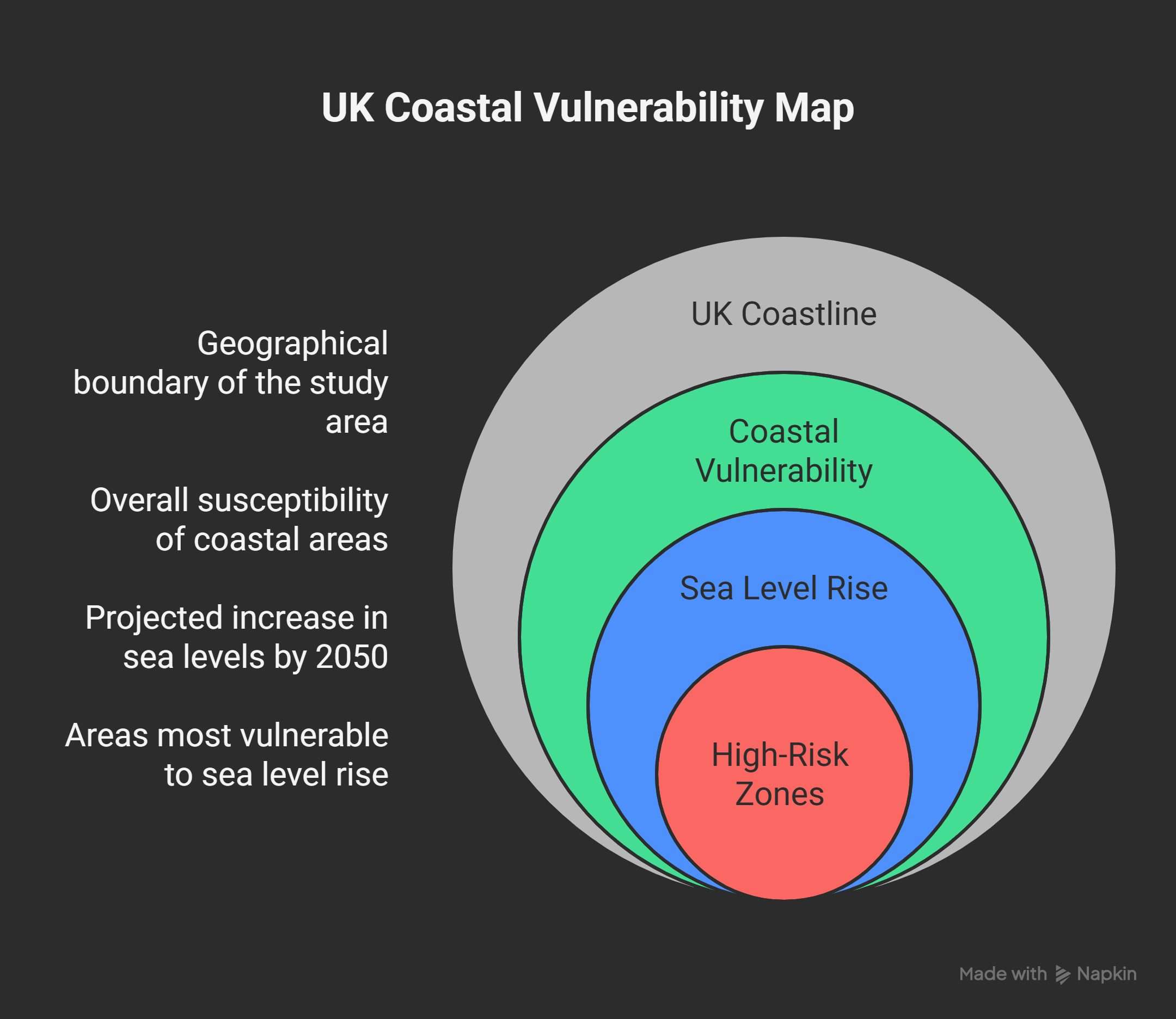
Sea level rise and storm surge effects must be taken into consideration for low-lying and coastal constructions. Climate change allowances provide projections for different periods, helping planners predict medium and long-term risks
Regional differences
The rise in sea level is not consistent. To effectively assess project risk, local ground uplift or subsidence must be taken into account. Guidance often uses a 2050 sea level map for medium-term planning.
Severe situations
Upper end allowances, including potential 1-metre sea level rise scenarios, must be tested for high vulnerability developments or projects with long lifespans. This guarantees security even in the most extreme circumstances.
Calculating and using the climate change risk assessment
Standard methodology
Planners choose center or upper-end allowances according to development type and flood zone, according to a guideline for climate change risk assessment.
Calculating future peak flow
By adding the appropriate percentage increases to existing flood models, future river flows and rainfall are modeled, indicating possible flood depths and extents.
Risk assessment
The Flood risk assessment must show that the development remains safe under all scenarios and passes:
Sequential test- Concentrating development in low-risk locations
Exception test- Justifying development in high-risk areas
Where to look for information: Using official sources for United Kingdom flood and climate change maps
Planners can produce climate central maps that display forecasted increases in rainfall and sea level for certain locations.
Common concerns for homebuyers: Purchasing real estate in flood zones
Risk vs Policy
Although purchasing a home in a flood zone represents a higher risk, developments can be made safe by following planning tests and taking appropriate mitigation measures.
Mortgage and Insurance
In high-risk areas, especially Flood zone 3, getting a mortgage could be more difficult. Depending on certain eligibility, insurance can occasionally be obtained through programs like Flood Re.
Flood zone comparison
Flood Zone
Probability
Implications
Zone 2
Medium
Requires Flood risk assessment, some mitigation needed
Zone 3
High
Strictest evaluation; high probability of floods. Crucial mitigation needed
Real-world applications of climate change allowances
Climate change allowances are best understood through practical examples. The following United Kingdom projects show how using these allowances provide long-term safety and effectively manages flood risk.
1) Coastal development in East Sussex
Despite being guarded, a home development along the East Sussex coast was at risk from tidal surges. Planners applied medium and upper-end sea level rise allowances to model future scenarios. Raising finished floor levels and creating flood resistant structures with secure access points were examples of mitigation. By integrating these projections early, the development received planning approval and is now safeguarded against long-term coastal flooding.
2) Great Manchester – surface water risk
A homeowner who was considering a major addition found that the current drainage systems would not be able to handle the anticipated increases in rainfall. Planners recommended preamble paving, a larger attenuation crate, and garden regrading to efficiently manage surface water using climate change allowances for rainfall uplift. These changes ensured the site remained resilient to heavy rainfall events, satisfying planning authorities and protecting the property for years to come.
3) Oxfordshire- river flooding
A housing development near a river faced significant flood risk under upper-end peak river flow projections. Modelling showed that places that were once thought to be safe can be impacted by future incidents. Improving drainage routes, changing the site layout to provide safe access ,and compensatory floodplain storage were some of the mitigation strategies. These interventions reduce flood risk, improved access, and ensured the development complied with planning requirements.
Climate change allowances are non-negotiable in the United Kingdom planning. They enable developers, planners, and property owners to make safe and sustainable decisions by offering crucial insight into future rainfall, river flows, and sea level.
Understanding and correctly applying climate change allowances can prevent costly delays, unsafe development, and long-term property losses.
Take immediate action to safeguard your development and property. Make sure your planning application conforms with flood risk regulations and incorporates climate change allowances. Contact our expert team for a professional flood risk assessment.
Mandatory projections for rainfall, riverflow, and sea level that inform flood risk assessments and ensure developments remain safe over their lifetime.
According to the Environment Agency and national planning policy framework guidelines, United Kingdom planning requires climate change allowances for all proposals that are at risk of flooding.
Not necessarily. Whether mitigating measures make the property safe is confirmed by a professional flood risk assessment that incorporates climate change allowances.
In order to demonstrate that a development will be safe during its entire lifespan as rainfall, river flows, and sea level rise increase in the future, climate change allowances are necessary. National planning policy requires them in flood risk assessments for sites that may face present or future flood risk.
No. Flood zone 3 only reflects the current probability of flooding. In order to understand how flooding may grow in future decades, climate change allowances are incorporated individually during a flood risk assessment.
Yes. Even if a property has not flooded before, increased rainfall or rising sea levels may cause future risk. Allowances for climate change make it easier to determine if a building that is safe now might become dangerous in the future.