In Great Britain, everybody involved in land development, real estate investment, or building now has to take flood risk into account. Flood risk influences decisions long before a planning application is submitted. It affects land values, the type and scale of development that may be permitted, insurance availability, and the cost of mitigation measures such as raised floor levels, sustainable drainage systems, or flood resilience construction. Sites located in higher-risk areas may also be subject to stricter planning conditions, additional technical assessments, or, in some cases, refusal unless risks can be safely managed.
Flooding is now a national planning restriction that directly impacts site viability, design, and planning permission due to climate change’s increased frequency and intensity of extreme weather.
Whether you are an architect designing a plan, a developer evaluating a possible location, or a landowner submitting a planning application, it is crucial to comprehend how flooding is evaluated in Great Britain and where the true hazards are. In practice, flood risk assessment in Great Britain is shaped by national planning policy, Environment Agency guidance, and local planning authority requirements. Sites are assessed against mapped flood zones, historic flood records, surface water risk, and climate change allowances, with the level of scrutiny increasing as flood risk rises. Understanding this framework early allows applicants to identify constraints, apply the sequential and exception tests where required, and design developments that are policy-compliant and resilient from the outset.
With a clear focus on planning and development decisions, this guide describes current flood trends, historical flood incidents, future flood risk forecasts, and how to check flood risk using official tools.
Long-term flood risk in Great Britain: Looking towards 2050
According to long-term forecasts, Great Britain’s risk of flooding will rise during the ensuing decades.
According to national evaluations available on GOV.UK,
- Millions more homes could be located in flood-prone locations.
- The risk of river and coastal flooding is predicted to rise sharply
- Surface water flooding will remain the most widespread flood source
Generally speaking, government models do not predict that regions will be permanently submerged by 2050. Rather, it demonstrates an increase in the frequency and intensity of flooding occurrences, especially in low lying coastal areas and estuaries.
The Thames Estuary, Seven Estuary, the Humber Estuary and the low-lying coastal regions of eastern England are among the places that are frequently highlighted in long-term flood risk assessments. In these areas, long-term flood risk is driven not only by rising sea levels but also by tidal locking, storm surge events, and increased river flows during extreme rainfall. As sea levels rise, the ability of rivers to discharge during high tide is reduced, increasing flood depth and duration inland. This interaction between fluvial and tidal flooding makes estuaries and coastal plains particularly sensitive to climate change, requiring a more precautionary approach to development and long-term flood resilience.
These projections influence planning through higher design flood levels an stricter application of the Sequential and Exception tests.
Long-term flood risk data can be reviewed using the official gov.uk site here.
How to check flood risk for planning in Great Britain
Several official tools are used at different stages of planning and development
Tool | What it shows | When it is used |
Check for flooding | Live flood alerts and warnings | Operational awareness |
Long-term flood risk check | All flood sources | Early site screening |
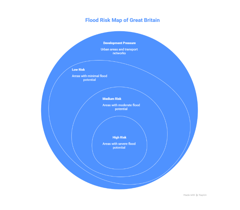
Flood Map for Planning | Flood Zones 2 and 3 | Planning applications |
Flood Risk Assessment | Site-specific analysis | Planning submission |
The most important resources for developers and architects submitting planning applications in flood-risk areas are the flood map for planning and a professionally completed flood risk assessment.
Users can watch real-time flood alerts and warnings here.
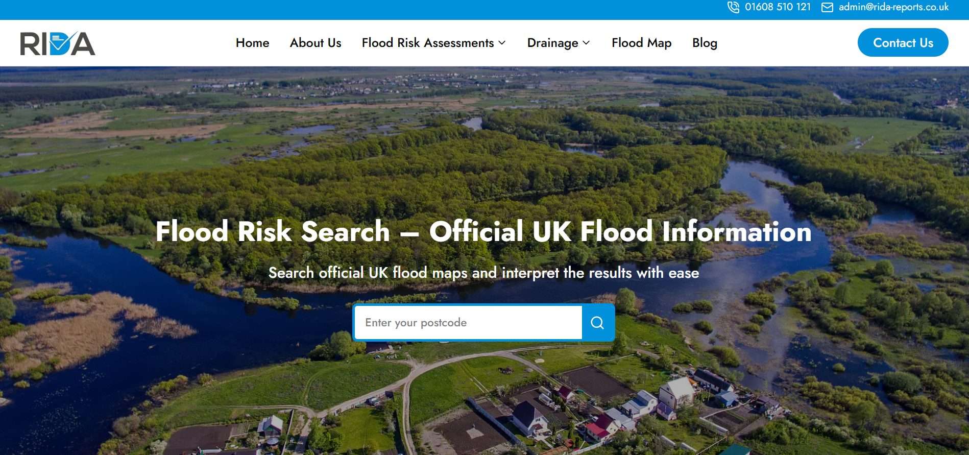
What does RIDA Reports do?
- Allows users to search by site location or postcode
- Screens sites against multiple flood risk sources, including river, surface water, groundwater, and reservoir risk
- Identifies whether a site falls within Flood Zones 1, 2, or 3
- Highlights potential planning constraints linked to flood risk
- Produces clear flood risk reports that can support planning strategies or inform the need for a Flood Risk Assessment (FRA)
How it is used in the planning process:
- Early site screening: Quickly identify flood risk constraints before land purchase or design work
- Pre-application stage: Support discussions with local planning authorities
- Planning applications: Inform whether a full, site-specific Flood Risk Assessment is required
- Design development: Help guide finished floor levels, drainage strategy, and mitigation measures.
Environmental and infrastructure impacts of flooding
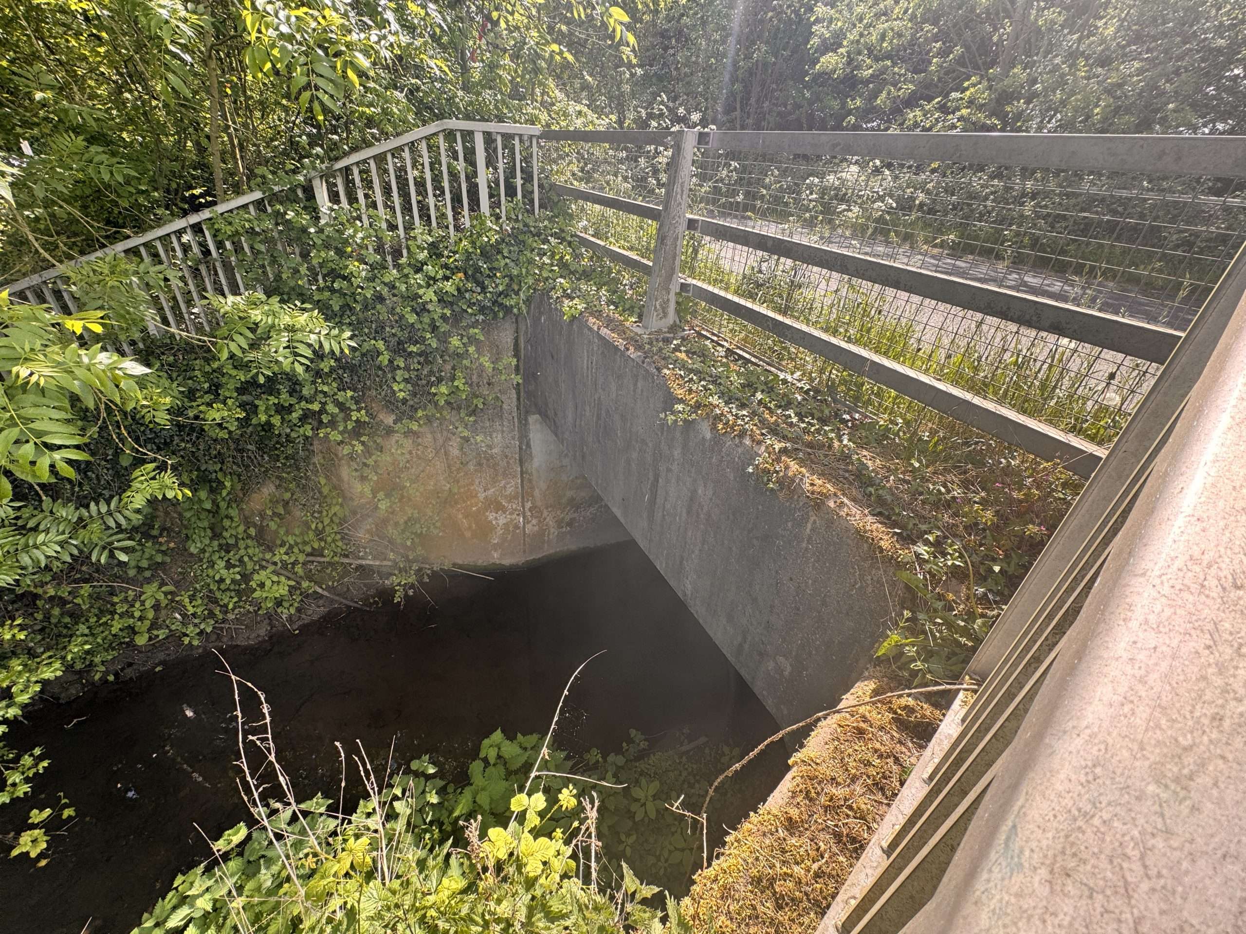
In Great Britain, the effects of flooding go beyond specific homes. Soil erosion, habitat destruction, and pollution from overloaded drainage and sewer systems are examples of environmental effects.
Road and rail closures, utility damage, and construction program delays are examples of infrastructure impacts that can have an impact on the viability and delivery of development.
Planning increasingly takes these broader effects into account, especially for larger or phased construction.
Avoiding growth completely is not the goal of effective flood risk planning. It involves utilising site-specific flood data to guide safe layouts, completed floor levels, and suitable mitigation techniques that adhere to planning regulations.
Key planning considerations include:
- Recognising every cause of flooding that affects the location.
- Correctly implementing climate change allowances
- Creating secure entry and exit routes
- Sustainable surface water management
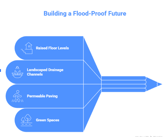
Finished floor level design, on-site drainage and attenuation, flood-resistant building methods and strategic site layout planning are examples of common mitigation strategies.
At this point, site-specific flood risk assessments that comply with local policy requirements and Environment Agency guidelines can be provided by a planning-led consultant like RIDA Reports.
Conclusion
As planning policy and climate guidance continue to evolve, flood risk considerations are becoming increasingly central to how land is allocated, designed, and approved across Great Britain. Local planning authorities are placing greater emphasis on evidence-led decision-making, long-term climate resilience, and compliance with national policy tests. As a result, developments that proactively address flood risk from the earliest stages are more likely to progress efficiently through the planning system and remain viable over their full design life.
In Great Britain, Flood risk is now an essential component of responsible development and is no longer a secondary factor in planning.
Urbanisation, climate change, and past floods all indicate that flood risk will need to be identified early, appropriately treated, and amply demonstrated in the future.
Using official flood data alongside a professional, site-specific flood risk assessment helps ensure that developments are safe, policy- compliant, and resilient for the long term. Tools such as RIDA Reports’ flood risk screening support early decision-making by helping identify flood constraints, planning requirements, and the potential need for a Flood Risk Assessment before submitting an application.
For developers, architects, and landowners, early engagement with experienced flood risk consultants such as RIDA Reports can make the difference between a smooth planning process and costly delays.