
Our Flood Risk Assessments in Cumbria ensure that new developments meet planning policies for flood risk

Flood Risk Assessments designed to help support planning applications, address flood related concerns early, and reduce delays during the planning process. As a specialist flood risk consultancy, we provide reports for:
Fast turnaround available for urgent planning applications.
Costs vary depending on the flood zone classification, the size of the project and the type of project. We offer FIXED PRICES from the moment we provide a quote. No hidden charges.
Any size development
Details site potential within the floodplain before making an investment decision or starting your master plan design
Developments less than 250 square metres within flood zone 2 or 3
Developments less than 1,000 square metres within flood zone 2 or 3
Developments less than 2500 square metres within flood zone 2 or 3
Learn more about flood risk assessment cost and what factors influence pricing across different development types.
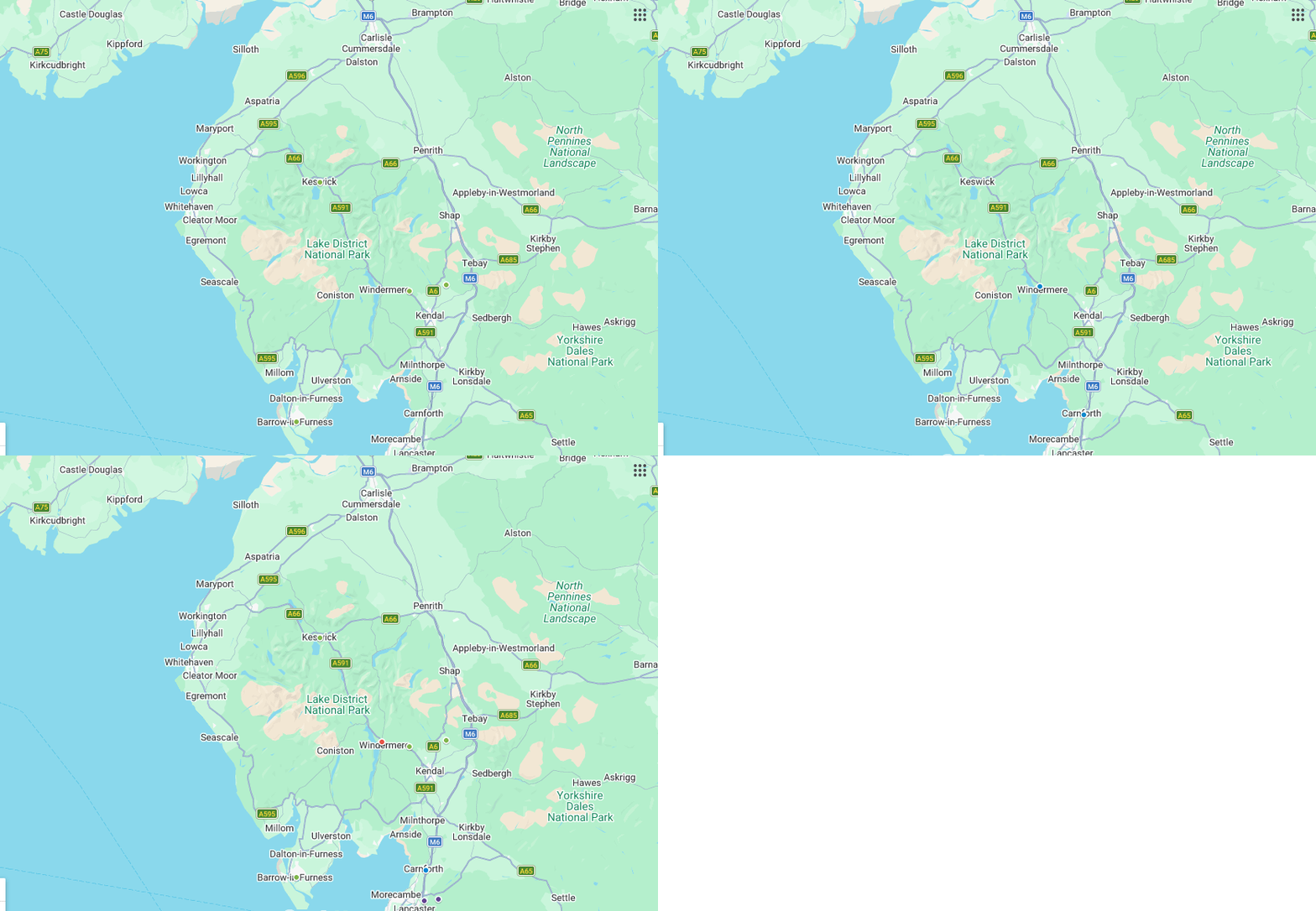
Recent projects completed across Cumbria, include sites in Windermere, Kendal, Barrow-in-Furness, and surrounding areas within the South Lakes and Morecambe Bay region.





Steve Morley
MDA Wirral Ltd
We have a long association with RIDA, this is due to their high standards of professionalism and detailed level of information provided. Always efficient, responsive and reliable working with tight deadlines, highly recommended.
James Cogley
Cogley Structural Solutions
We have had the pleasure of working with Arge at RIDA over several years and throughout this time the experience has consistently been very good. What stands out most is their responsiveness – any queries or issues have always been addressed promptly, which has given us great confidence and peace of mind.
Jon Lipka
M&E Design and Build Ltd
I had an excellent experience with RIDA. From start to finish, their team was professional, responsive, and genuinely committed to customer satisfaction. Communication was clear and consistent, and they went above and beyond to make sure everything was done right on site at Soho Farmhouse.
Cumbria has experienced some of the most severe flooding events in England due to a combination of high rainfall, steep terrain, fast flowing rivers, and rapid surface water runoff.
Cumbria has some of the highest flood risk pressures in England due to intense rainfall, steep catchments, fast flowing rivers and surface water runoff.
Major flood events have affected areas including Carlisle, Kendal, Keswick, Cockermouth, and parts of the South Lakes, with Storm Desmond causing widespread flooding across the county in 2015.
Flood risk assessments within Cumbria are not limited to sites located near major rivers.
A Flood Risk Assessment may be required if:
Review your site flood zone and confirm whether an FRA is likely to be required before planning submission
Flood related planning delays usually happen because submitted information is incomplete.
Incorrect flood zone assumptions
No mitigation measures
Unclear finished floor levels
Missing surface water flood review
No flood volume compensation
Unsafe access or evacuation
Our flood risk assessments are prepared to help address flood related planning concerns early and support smoother planning submissions.
You’ll receive clear, specific and expert report which:
Meets the local and national planning policies
Costs effective in the mitigation of flood risk
Enables you to make informed changes to the design and achieve planning
Safeguard your development from flooding throughout its lifetime
Flood risk forms an important part of the planning process across Cumbria, particularly for developments located near rivers, ordinary watercourses, or areas identified as having surface water flood risk.
Planning authorities may review:
NOTE: Sites outside Flood Zone 2 and Flood Zone 3 may still require flood related assessment where local drainage or surface water flood risk affects the proposed development.
Planning Guidance & Local Authorities:
Need a Flood Risk Assessment to support your planning application in Cumbria?
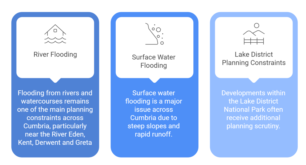
Cumbria experiences frequent flooding due to a combination of mountainous terrain, high annual rainfall, steep river catchments, and rapid surface water runoff. Rivers including the River Eden, River Kent, River Derwent, and River Cocker can rise quickly during periods of intense rainfall, particularly following Atlantic storm systems moving across the Lake District.
It's possible that you will still be required to carry out a FRA even if your property is located in Flood Zone 1, where surface water flood risk, drainage constraints, or nearby ordinary watercourses affect the proposed development. This is common as the steep topography and the potential for rapid runoff during heavy rainfall events create surface water flood risks across large areas of Cumbria.
Carlisle, Kendal, Keswick, Cockermouth and the southern Lake District (South Lakes) all experience flooding from heavy rainfall. Flooding could potentially happen in small village communities and rural development schemes as well as in those close to rivers and streams and in places with steep slopes.
Once we receive your site details, most flood risk assessments will take only a few working days to complete. Larger assessments or those that fall into higher flood risk zones may require longer review periods. We also provide a 48 turnaround additional service.
House extensions may require a Flood Risk Assessment if the property is located within Flood Zone 2 or Flood Zone 3, near a watercourse, or within an area affected by surface water flooding.