
Home Flood Risk Assessment
Home flood risk assessment is a crucial step in the UK planning process. An FRA is often required with your planning application to describe the flood risk your site is at and what measures you have taken to mitigate it and protect other homes around your property as well.
At RIDA Reports, our flood risk assessment consultants provided the fastest initial report within 48 hours across England. Our reports support planning permission as they are created by :
- Complete site analysis.
- Using official data.
- Analysis of all flood sources.
- Including sequential and exception tests as required.
- Performing hydraulic modelling as required.
- Including a clear mitigation strategy.
- Coordination with your design team.
- Including your emergency access and regress.
We also provide flood risk assessment for property transactions, property design and planning consultancy. Talk to our flood risk consultants today at RIDA Reports, and also receive a no-obligation free quote.
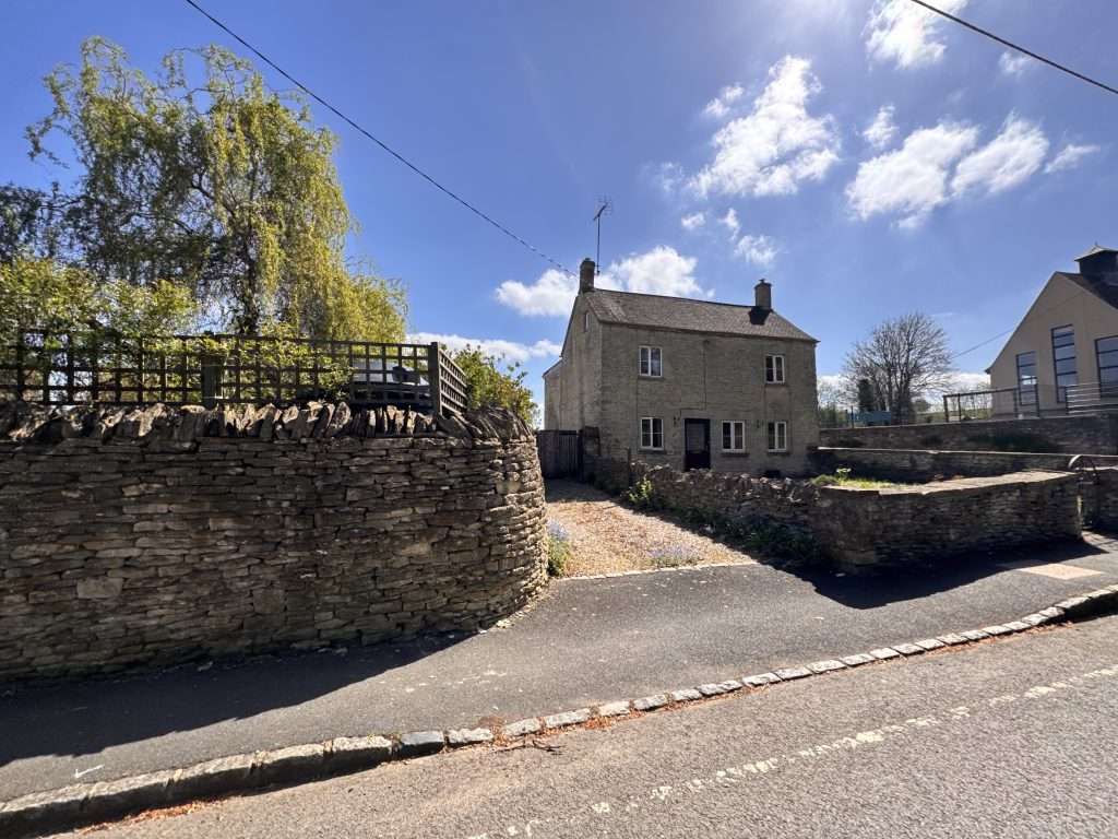

What is a Flood Risk Assessment for homes?
A flood risk assessment for residential properties examines:
- All flood sources
- Property’s Flood Zone
- How likely your property is to flood
- Whether your development is increasing the flood of risk elsewhere
- Includes mitigation measures to protect the property for a lifetime.
Our chartered engineers perform home flood risk assessment following the guidelines of the Environment Agency and LLFA, using official data, performing hydraulic modelling, sequential and exception tests as required and advanced methods with 21years of experience to draft a clear planning approval-ready flood risk assessment report.
Home Flood risk assessment becomes mandatory under these conditions:
- If your home is in a flood zone 2 or 3
- Your home is in flood zone 1, but the property is 1 hectare or bigger
- If your site has surface water flood risk ( you can check it out on the RoFSW map)
- If your home is in a critical drainage area
- If it is in flood zone 1, but the climate change data shows it might be at risk in the future
- If you are changing a less vulnerable property( parking area) into a vulnerable property ( home)
Our Clients






How to check if your house is in a Flood Zone
If you are wondering “Is my house in a flood zone?”, it is easy to find out using UK government data and tools.
The Environment Agency provides a check on long-term flood risk, which you can use to find your flood zone and flood risk from rivers, sea, surface water, reservoirs and groundwater using your postcode. This tool also accounts for climate change.
For the legal planning context, you can also refer to a map by the Environment Agency called the Flood Map for Planning. This tool is often used by local authorities to determine if an FRA is required based on the flood zones. For example, if this map marks your site in flood zone 2 or 3, this makes an FRA mandatory.
How to check if your house is in a flood plain?
To answer this question, you will use the same maps stated above:
A flood plain means an area next to a river (flood zones 2 and 3). In simple terms, if the official map marks your property in a flood zone, then your property is on the 1-in-100 (or worse) annual chance floodplain. In the same way, one 2 is the 1-in-1000 chance floodplain.
We at RIDA Reports geographically show this on a map for your site in our FRA reports. We also check local Lead Flood Authority data and historic records to find any overlooked risk. Our flood risk consultant also provides advice on whether a full FRA is really necessary for your project or if standing advice suffices. Leave us a message!
What information do we need for a Home Flood Risk Assessment?
If you hire RIDA Reports for flood risk assessment, we keep it simple and require only a few things, such as:
- Your property address and coordinates to locate your home on official flood maps and for site visits ( mostly not required in home FRA)
- Your initial site plan and layout to see proximity to water courses or drainage features
- Project details, such as building, extending or changing the use? This helps us apply the appropriate regulations
- Contact Information, so we can clarify any points quickly. That’s it.
From there, our engineers take the lead and pull data like:
- River flood models
- Surface water mapping
- Groundwater information
- Climate change allowances
This results in a bespoke report, where everything is organised, researched and proven.
RIDA Reports Flood Risk Assessment process (48-hour turnaround)
We provide an initial flood risk assessment report within 48 hours, the fastest in England and the UK. Our process includes the following steps.
- You submit your details such as address, name, project details, etc
- We immediately start assessing data, and our GIS specialist overlays your plot on national flood maps and UK data. We also account for future climate layers
- Our chartered engineers then review and examine the mapped results, consider building specifics, and note down necessary mitigation measures
Within 2 days, you get
- a PDF explaining the flood zone of your site
- the risk levels
- mitigation measures
The initial report is fully compliant with planning policy (NPPF) without any guesswork. You can mention this report to lenders, insurers or councils according to your need,
When is a Surface Water Drainage Strategy required as part of planning?
Flood risk assessment is one part of planning. Under certain circumstances, you might be asked to submit a surface water drainage strategy report if:
- Your property has more than 10 dwellings
- The development site is bigger than 1ha
- Flood space over 1000m2
- Minor development of less than 10 dwellings when they are located in an area at flood risk, with critical drainage problems and surface water flood risk.
Surface water drainage strategies are often considered as part of planning permission, and it is mandatory under such conditions to demonstrate to the Local Planning Authority, the Lead Local Authority and the Environment Agency that surface water has been considered and taken care of.
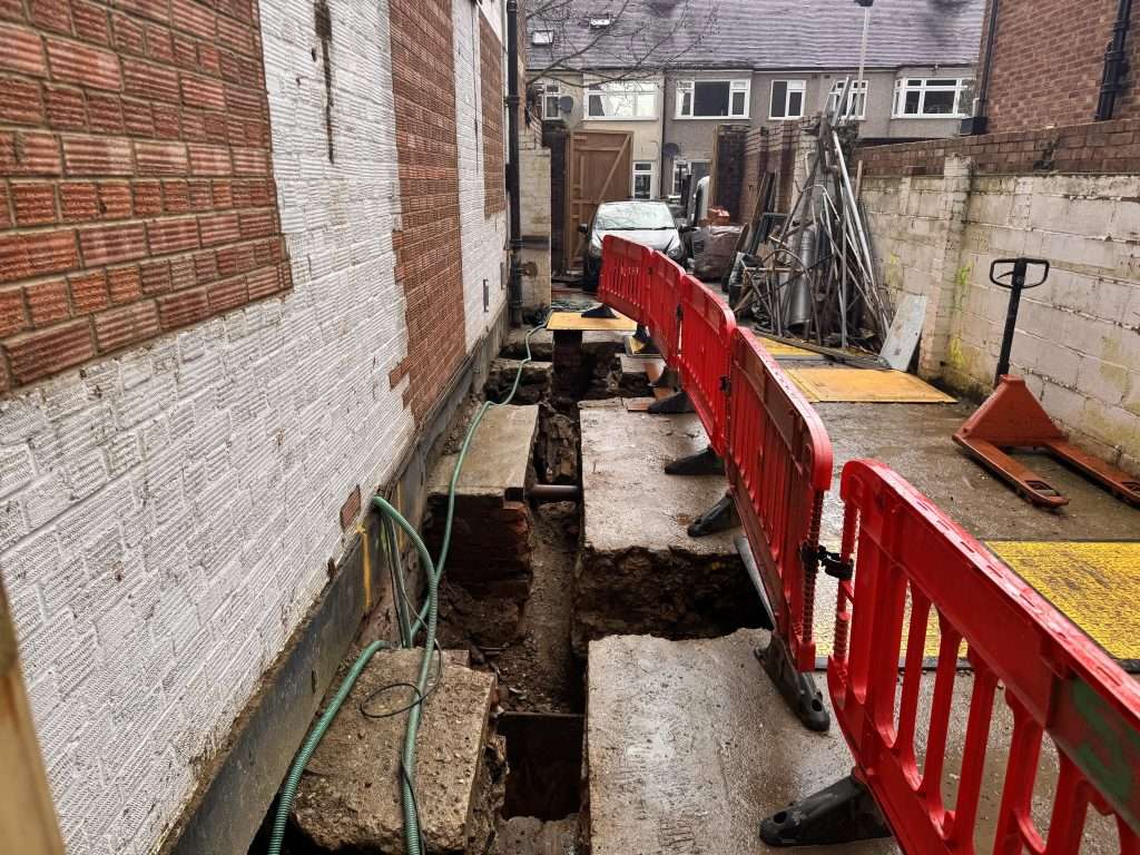
Our approach to Drainage Strategies at RIDA Reports
We offer a range of drainage strategies from 250 square meters up to 50000 square meters and more. Our drainage strategy reports demonstrate that your development can be drained sustainably, using cost-effective sustainable drainage systems.
We efficiently handle complex site conditions and provide a range of drainage strategies, including 2D surface water runoff modelling. Complex site conditions include
- Development site with flood plains and at risk of surface water flooding
- Contaminated site
- Flat and sloppy sites
- Development sites with unsuitable subsoil and deep backfills
- Sites with increased groundwater levels
You will receive a professional, complaint and site-specific advice which:
- Compiles with local and national planning policies
- Uses efficient methods to produce resilient drainage designs
- Recommends informed changes
- Is Cost effective
You can contact us today if you’re uncertain about your requirement. We will talk you through the options and give you the case-specific advice.
Strengthen your planning application and protect your home
A RIDA Reports flood risk assessment gives you the facts and guidance compliant with the national policy. Our reports not only speed up your planning process but also project your property through expert analysis and advanced methods.