
Flood Risk Assessment Surrey

Site-Specific Flood Risk Assessments for Surrey Planning Applications
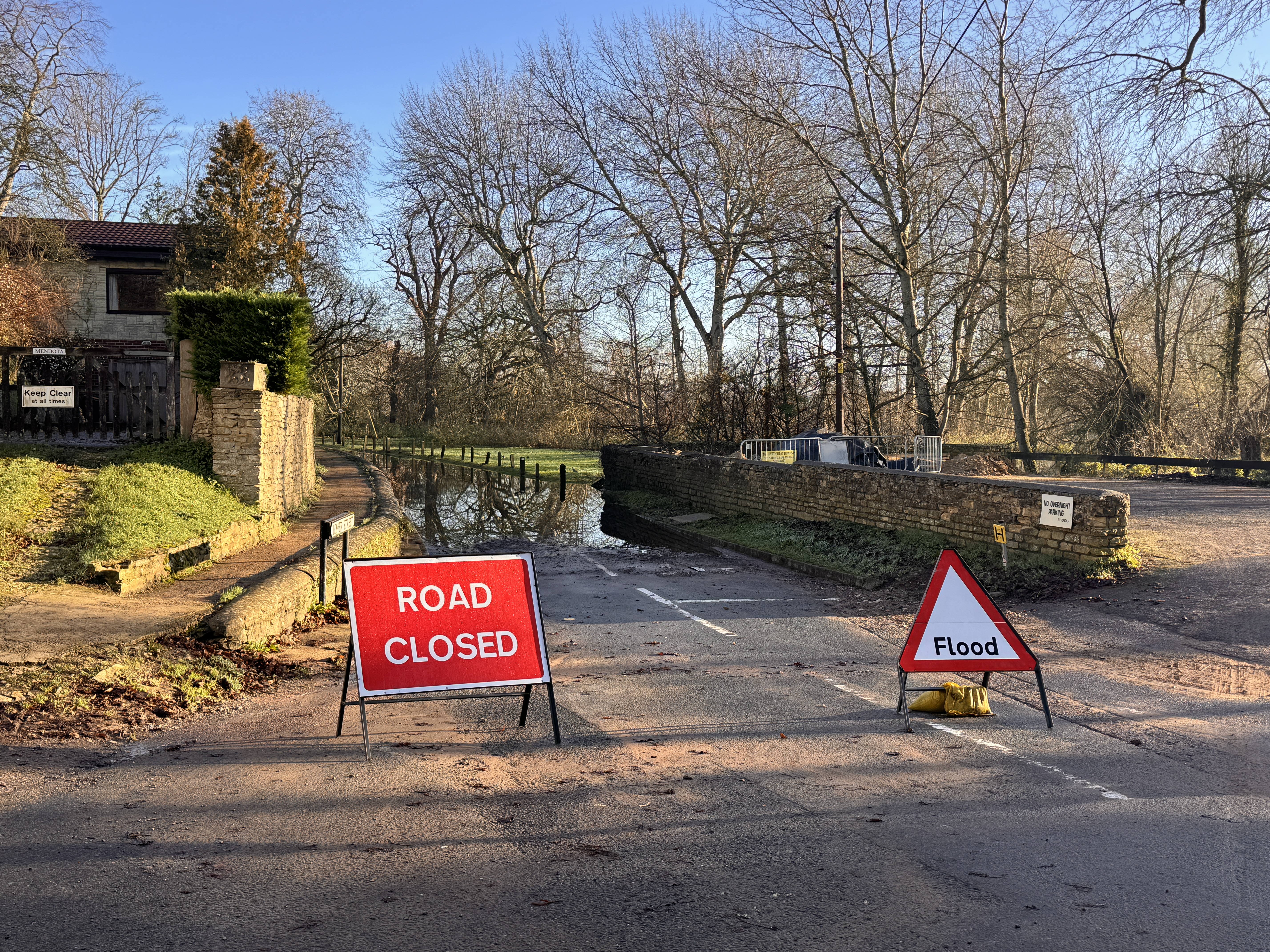
An FRA for Surrey LLFA may be needed for development in Flood Zones 2 or 3, some Flood Zone 1 proposals, sites affected by other flood sources, or applications where the LPA requests evidence. Read about flood risk assessments for planning permission. RIDA’s flood risk consultants scope the report against your site, proposal and planning context.
Get A Free No Obligation QuoteWhat You Will Receive
Technical deliverables
| Deliverable | Purpose |
|---|---|
| Site-specific flood risk assessment report | Supports your planning application, pre-application response or request for flood risk evidence. |
| Review of mapping, local policy and available site information | Identifies the flood sources and planning matters relevant to your site. |
| Assessment of risk, climate change, access and mitigation where applicable | Provides reasoned recommendations for your design and submission. |
| Advice on further technical work | Identifies any need for drainage, SuDS, testing or hydraulic modelling. |
What this helps you progress
The report gives your project team a defined flood risk evidence package. It does not guarantee planning permission or acceptance by an authority.
Surrey Flood Risk and Planning Considerations
Surrey borough and district planning authorities determine planning applications. Surrey County Council carries Lead Local Flood Authority responsibilities. The evidence needed reflects the proposal, local policy, the relevant SFRA and the site’s flood sources.
The assessment may cover fluvial, surface water, groundwater, sewer, reservoir and residual risk. Local watercourses can include the Thames, Wey, Mole, Blackwater and Bourne, subject to site location.
Planning requirements are set out in the Flood risk and coastal change Planning Practice Guidance. Use the official Environment Agency Flood Map for Planning or RIDA’s Flood Map for Planning for initial Flood Zone evidence. You can check the long-term flood risk for an area across several flood sources. Mapping informs the scope but does not replace a site-specific FRA.
What We Need to Scope Your Assessment
- Site address or postcode, to review the site-specific flood and planning context.
- Development description, to define the assessment scope.
- Drawings and site levels, to assess the proposed layout and levels.
- Planning reference or correspondence, to review any LPA or consultee request.
- Available flood, drainage or ground information, to identify existing evidence.
RIDA will confirm if the project needs drainage strategies, SuDS work, a Sequential Test, an Exception Test, groundwater assessment or hydraulic modelling.
Flood Risk Assessment Surrey FAQs
Do I need a flood risk assessment for my Surrey planning application?
You may need one for development in Flood Zones 2 or 3, certain Flood Zone 1 proposals, sites affected by other flood sources, or when the LPA requests flood risk evidence.
What information do you need to provide a quote?
Send the site address, development description and available drawings. Planning correspondence, site levels and existing flood or drainage information help define the scope.
What will my Surrey flood risk assessment include?
The scope can include flood sources, mapping, climate change, access and egress, mitigation, finished floor level recommendations and residual risk. Content reflects the site and proposal.
How much does a flood risk assessment cost in Surrey?
Request a Surrey Flood Risk Assessment Quote
Send your site address, proposal, drawings and planning correspondence. RIDA will review the information and provide a scoped quotation for the assessment.