
High Street, Old Amersham, Buckinghamshire
The Brief
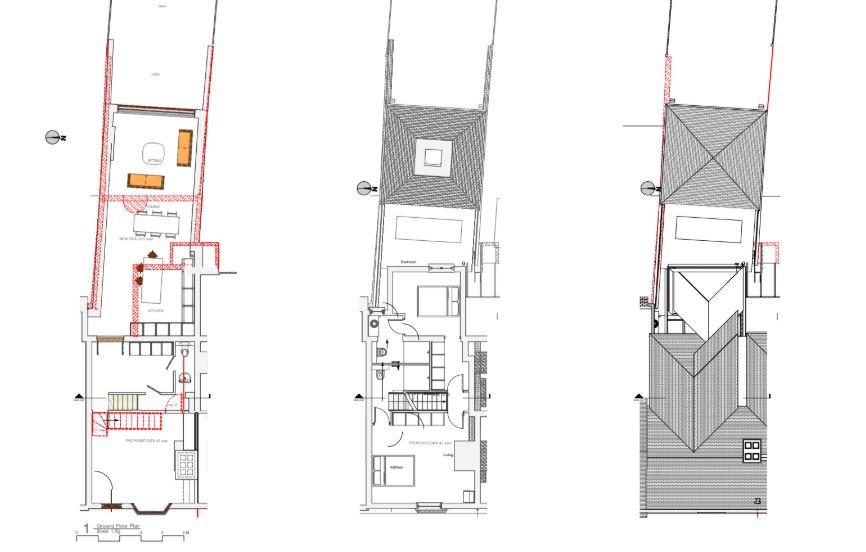
RIDA Reports Ltd was appointed to undertake a detailed flood risk assessment for a proposed development at 133 High Street, Old Amersham. The project involves a residential extension into the property’s existing garden area. The assessment was required to determine the site’s vulnerability to flooding over its 50 to 100-year design life, ensuring this development in Flood Zone 2 could be safely constructed without increasing flood risk elsewhere.
Why the Client Chose RIDA
The client required specialist technical expertise to navigate the National Planning Policy Framework (NPPF) and local authority planning requirements for extending a property near a main river. RIDA was selected for its proven ability to deliver robust flood risk compliance strategies and practical design advice, particularly for sites presenting complex, multi-source flood challenges.
The Challenge
The site is situated in Environment Agency Flood Zone 2, just 15 metres from the River Misbourne, presenting a medium risk of fluvial flooding. The overarching Design Flood Level constraint on the site was driven by a potential surface water flood level of 92.8m AOD. Furthermore, the site faces a high risk of groundwater flooding with the potential to reach 92.6m AOD (above the average external ground level of 92.45m AOD), and is also located within a potential reservoir dam breach flooding path.
The RIDA Difference
RIDA conducted a detailed flood risk assessment systematically evaluating all potential flooding sources. To mitigate the primary surface water and groundwater risks, we utilised the overarching 92.8m AOD Design Flood Level to guide our recommendations for establishing a safe finished floor level with adequate freeboard. To protect future occupants from residual risks and extreme 1 in 1000-year flood events, RIDA advised the implementation of a formal, site-specific Flood Warning and Evacuation Plan, establishing a clear and safe egress route via High Street west towards Cherry Lane.
The Outcome
The assessment successfully demonstrated that, subject to the proposed mitigation measures, the extension can be safely developed in accordance with NPPF provisions. By integrating targeted floor level guidance, surface water management, and a clear emergency evacuation route, the report provided the essential evidence to support the planning application and manage the site’s unique flood risks effectively.