
Catchment
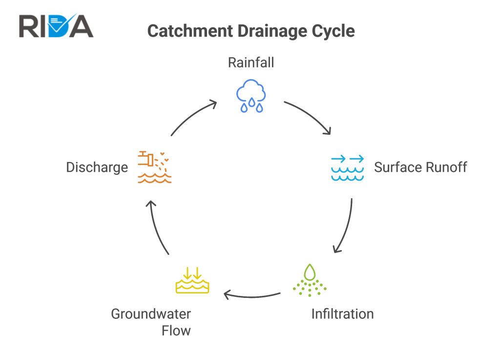
A Catchment is the total land area that drains naturally to a specific point, such as a river, drainage system, or other body of water. Understanding catchment behaviour is essential — use a long term flood risk report to assess upstream influences. The GOV.UK flood risk and coastal change guidance explains how catchment-level flood risk is assessed and managed.
Case Example
In Oxford, planners use AEP to categorise land into different Flood Zones, which then dictates what can be built there. By knowing the AEP, they can decide exactly how much higher to build a flood wall or how much extra “soakaway” space a new development needs.
Don’t ignore the wider landscape. Rida Reports includes catchment analysis in your Flood Risk Assessment.