
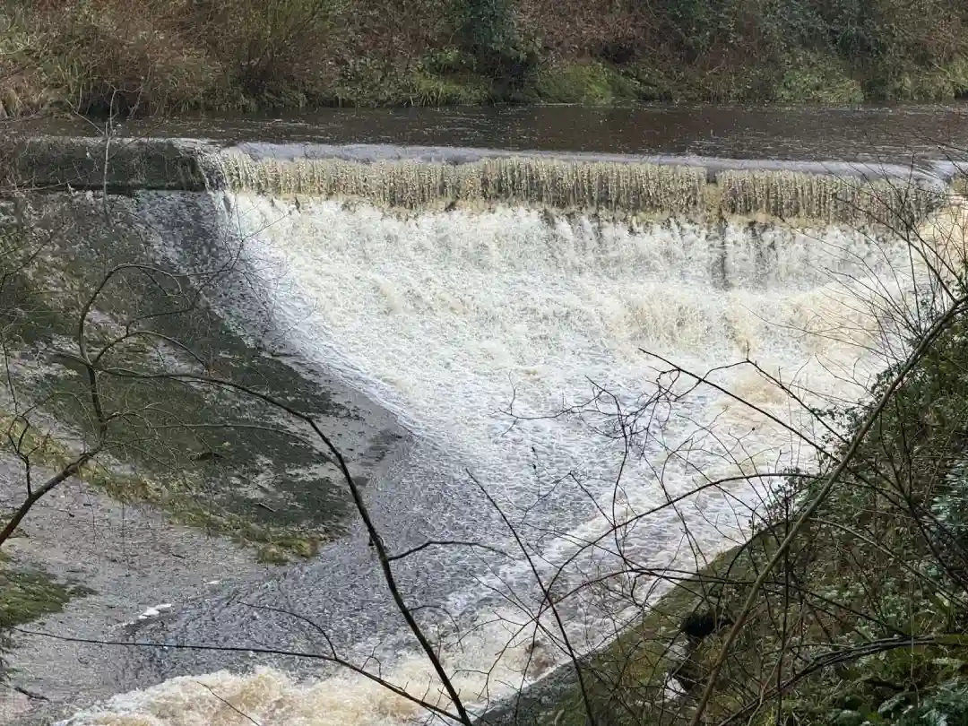
London has low-lying areas and extremely dense development, which makes it prone to flood risk. In recent years, flood risk in London has become a concerning issue for developers and residents. Currently, Greater London faces a risk of tidal flooding, groundwater flooding, surface water flooding and sewer water flooding, which can be explored in more detail using a flood risk map.
Almost 6% of London faces a high flood risk, and 30% of the area faces medium flood risk. Climate change is expected to increase this risk; we are already seeing high sea levels and heavy rainfall.
It is important for anyone living in London to understand flood risk in London and prepare against it through the best strategies.
Types of Flooding in London
London is prone to flooding from all four sources: rivers, the sea, surface water and groundwater. Let us take a detailed look at these types.
Tidal and Fluvial Flood Risk
London is located on the River Thames and its many tributaries. It constantly faces the risk of river and storm surge flooding. In past, we have seen some severe flooding incidents, for example, in 1928, the Thames water reached Hammersmith from Greenwich because of a North Sea storm and flooded Whitehall and Westminster.
Similarly, in 1982, a dangerous flood hit the Thames Estuary and killed approximately 307 people. Keeping these incidents in mind, and to protect London from such events in the future, the Thames Bridge was constructed in 1982.
This bridge can stop storm surges and high tides from reaching London City. A huge network of pumps, flood gates and walls behind the bridge and along the estuary works together to keep the Thames at bay.
These preventions worked well for a long time, but now, due to climate change, the sea levels are rising faster than expected, making these preventions ineffective.
Keeping this in mind, the Enviroment agency now plans to update the Thames Bridge under the Thames Estuary 2100 plan. The banks and walls will be raised, and the barrier will have to close every high tide.
Surface Water and Pluvial Flooding
Surprisingly, many floods in London come from rain and not the rivers, and that’s exactly what surface flooding is. Surface flooding occurs when heavy rainfall overwhelms the drainage system and flows over land.
London is a dense city with a lot of tarmac and concrete, leaving little ground that can actually absorb rainwater, adding to the surface water flood risk. According to a report by the Climate Change Committee, hard surfacing in gardens has increased 26% from 1999 to 2007, leaving little open ground to absorb rainwater.
For instance, on 25th July 2021, St James Park recorded 41.8 mm of rain in an hour, causing a flash flood. Leaving tube stations flooded, stalled bus services and patients were asked to evacuate hospitals.
SuDS (Sustainable Drainage Systems) has become a vital strategy against flood risk in London. RIDA reports designing sustainable drainage systems that pair natural drainage with built-in advanced features to drain rainfall water. We promote sustainable water management and environmental protection by following national policies and hiring expert engineers.
Flood Risk Areas in Greater London

Flood risk varies across London, with areas closer to water bodies and situated in low-lying districts facing higher flood risk.
East and South-East London
Areas of East and South East London situated closer to the River Thames face a high risk of storm surge and flooding. This includes Tower Hamlets, Newham, Barking & Dagenham, Havering and Greenwich, as their elevation are often times closer to or just above sea level.
Although there are flood defences available, areas like the Isle of Dogs, Thamesmead and Barking Riverside still face a high chance of flooding.
Lea and Tributary Valleys
Areas near River Lea and along its tributaries, such as Leyton, Hackney Wick and some parts of Enfield, carry a medium to high risk of flooding. This is because water flows from the ground into the flat valleys.
Central and West London
Some parts of central and west London, which are not closer to the Thames, are still vulnerable to flash flooding due to heavy rainfall. And this has been seen in Central and West London in July 2021.
It is important for every resident of London to study flood maps to check their flood risks. Since broad maps are hard to read and do not provide data for specific postcodes, it is important to consult flood maps of the Environment Agency and RIDA reports for detailed post code specific results.
Authorities Involved in London Flood Risk Mitigation
There are multiple agencies that work together against flood risk in London.
Environment Agency
The Environment Agency (EA) is a national agency that works under DEFRA and aims to protect and improve the environment. The Environment Agency has published a flood map for planning that divides the area of England into three flood zones based on flood probability from rivers and the sea. This agency also releases flood warnings and is currently working on implementing the Thames Estuary 2100 plan.
Local Authorities and Boroughs
Local Authorities and Boroughs, also called Lead Local Flood authorities, manage surface water flooding and local flood risk. Every Borough has its own local flood strategy, and they are often part of initiatives like “Flood Ready London”.These authorities handle matters like local drainage and flood alerts.
Greater London Authority (GLA) and London Assembly
The Mayor’s office shapes the strategic flood policy for London. According to the London Plan, it is now compulsory for every major development to include a sustainable drainage system and develop outside high-risk flood zones.
The Greater London Authority (GLA) also funds flood resilience research and runs the London Resilience Partnership, which coordinates emergency response among 170 counties.
Water Companies
Water companies, like Thames Water, manage the sewer system and watercourses. Thames Water is working on upgrading sewer systems, like the new Thames Tideway Tunnel, which will lower the overflow of sewage and foul water. Additionally, the pumping stations of these water companies help in draining stormwater to prevent flooding and damage.
Met Office
The Met Office provides weather forecasts and severe rain warnings. Agencies like EA and boroughs rely on Met for the rain forecast,
In summary, the London flood safety system covers different aspects of flooding and coordinated action. This approach works in reducing floods and implementing effective strategies.
Flood Maps to Check Flood Risk in London
Accurate flood maps are important for planning and public awareness. The Environment Agency provide official flood map for planning that provides flood probability information from rivers and the sea. You can find the official map on gov.uk website.
You can also find flood risk information through London Datastore, where the Greater London Authority publishes a dataset for “ flood risk zones. In this dataset, each 10-meter grid cell in London is categorised into one of four categories of flood risk.
In London, every borough also prepares its own flood risk assessment, which combines local flood history with EA flood data. These reports are available on council websites, and include detailed maps of surface water flooding, river flooding and sewer flooding.
RIDA reports consult these flood maps during flood risk assessment for authoritative and evidence-based data.
How to Prepare for Flood Risk in London

Flood risk UK planning law plays a vital role, especially in a city like London, where flood exposure and Development pressure both exist. The National Planning Policy Framework(NPPF) strictly limits development in flood-prone areas, and planning applications must include a Site-Specific Flood Risk Assessment (FRA)
Flood Risk Assessment (FRA)
Developers and architects in London have to assess the flood risk of a site before development through a flood risk assessment. An FRA assess if a site is at risk of river, the seas, sewage water or surface water flooding. It provides protective nd risk-mitigating strategies.
Flood resistance and flood Resilience
The guidance encourages developers to include flood-resistant and flood-resilience designs in development. This includes installing non-return valves, waterproof walls and raising the level of electrical systems. These precautions allow a faster recovery after a flood.
Infrastructure Solutions
The updated London plan and national policy now require SuDS to be part of every new development. The sustainable drainage systems reduce water runoff and mimic a natural drainage system.
Importantly, the Local planning authorities are urged to avoid high-risk flood zones for development, unless absolutely necessary. These recommended planning solutions prevent flood damage and protect people and homes in London.