
Flood Risk Assessment Devon
Our Flood Risk Assessments in Devon ensure that new developments meet planning policies for flood risk


Need A Flood Risk Assessment In Devon?
Planning applications across Devon often require a flood risk assessment due to coastal flood risk, tidal influence, estuary development and surface water drainage constraints. As a specialist flood risk consultancy, we prepare FRA for developments across:
- Exeter
- Torbay
- Dartmouth
- Totnes
- Exmouth
- Barnstaple
- Rural and coastal Devon sites
Fast turnaround available for urgent planning applications.
Flood Risk Assessment Cost in Devon
Our flood risk assessments in Devon start from £750 + VAT for residential developments. We provide fixed fee quotations before work begins.
Flood Risk Appraisal
Any size development
Details site potential within the floodplain before making an investment decision or starting your master plan design
Flood Risk Assessment – Extensions and Change of Use
Developments less than 250 square metres within flood zone 2 or 3
Flood Risk Assessment – Single Dwelling
Developments less than 1,000 square metres within flood zone 2 or 3
Flood Risk Assessment – Minor Development
Developments less than 2500 square metres within flood zone 2 or 3
Learn more about flood risk assessment cost and what factors influence pricing across different development types.
RIDA's Reports Flood Risk Assessments
Projects in Devon
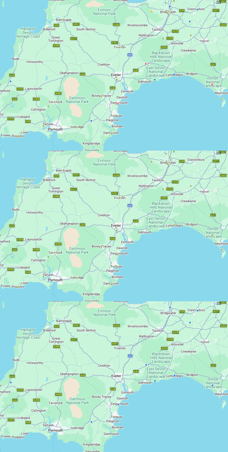
RIDA Reports has provided planning support for developments in Exeter, Plymouth, Teignmouth, Torbay, Okehampton, East Devon, and surrounding areas across South and West Devon.
Our Projects
Our Clients






What Our Customer Says
Steve Morley
MDA Wirral Ltd
We have a long association with RIDA, this is due to their high standards of professionalism and detailed level of information provided. Always efficient, responsive and reliable working with tight deadlines, highly recommended.
James Cogley
Cogley Structural Solutions
We have had the pleasure of working with Arge at RIDA over several years and throughout this time the experience has consistently been very good. What stands out most is their responsiveness – any queries or issues have always been addressed promptly, which has given us great confidence and peace of mind.
Jon Lipka
M&E Design and Build Ltd
I had an excellent experience with RIDA. From start to finish, their team was professional, responsive, and genuinely committed to customer satisfaction. Communication was clear and consistent, and they went above and beyond to make sure everything was done right on site at Soho Farmhouse.
Why Flood Risk Is A Key Planning Issue In Devon
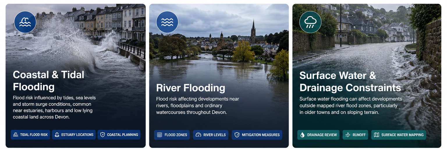
Devon contains a large number of coastal settlements, estuary developments, river floodplains, and low lying waterfront areas where flood risk forms an important part of the planning process.
Flood related planning constraints commonly affect developments near:
- River Exe
- River Dart
- River Taw
- Estuary locations
- Coastal frontage sites
- Tidal flood areas
Many developments across Devon are also affected by surface water drainage constraints, particularly within older settlements and sloping coastal towns, where planning authorities may require a flood risk assessment.
Common Flood Risks Across Devon
Flood risk can vary significantly across Devon depending on location, topography and proximity to watercourses and the coast.
When do you need a Flood Risk Assessment in Devon?
In Devon, a flood risk assessment may be required where a planning application needs to demonstrate that flood risk has been properly considered and that the proposed development will remain safe during flood events.
Common scenarios include:
- Development within Flood Zone 2 or 3: Planning applications within higher flood risk areas commonly require a Flood Risk Assessment as part of the planning submission.
- Coastal or estuary developments: Sites near tidal flood areas, harbours, estuaries, or low lying coastal land may require flood related assessment and mitigation measures.
- Sites affected by surface water flooding: Developments within areas identified on surface water flood mapping may require assessment even outside river flood zones.
- Change of use or redevelopment: Applications introducing more vulnerable development may require flood related review to support planning approval.
Not sure which flood zone your property is in? Use our postcode search page to find out
What is included in RIDA's Flood Risk Assessment
Flood Zone & Flood Sources
Site Specific Flood Levels
Planning Policy Review
Flood Mitigation Measures
Safe Access & Emergency Planning
Development Impact Assessment
We deliver clear, professional flood risk assessments that help inform planning decisions and reduce the risk of delays.
Benefits of our Flood Risk Assessments in Devon
You’ll receive clear, specific and expert report which:
Meets the local and national planning policies
Costs effective in the mitigation of flood risk
Enables you to make informed changes to the design and achieve planning
Safeguard your development from flooding throughout its lifetime
Local Planning Context In Devon
Flood related planning requirements across Devon can vary depending on the site location, development type, and nearby flood constraints.
Developments near estuaries, coastal frontage, rivers, and low lying land may require consultation with the Environment Agency or Lead Local Flood Authority as part of the planning process.
Local planning guidance, Strategic Flood Risk Assessments, and Environment Agency flood mapping are commonly reviewed when preparing Flood Risk Assessments for developments across Devon.
Additional scrutiny is often applied to:
- Waterfront developments
- Holiday accommodation
- Redevelopment sites
- Developments within historic coastal settlements
- Sites affected by drainage limitations
Planning near the coast, river, or estuary in Devon? Start with a Flood Risk Assessment.
FAQS
Flood risk for a site in Devon can be checked using the Environment Agency Flood Map For Planning and surface water flood mapping. These maps help identify whether a site falls within Flood Zone 1, Flood Zone 2, Flood Zone 3, or an area affected by surface water flooding. Planning applications within higher risk areas may require a Flood Risk Assessment.
Usually yes. If your Development Site is in Flood Zone 2, then you would normally need to carry out a flood risk assessment as part of the planning application process, especially with residential developments, change of use applications and more vulnerable types of developments.
Yes. Coastal & tidal flooding can occur along various parts of Devon, especially low lying coastline settlements, estuary sites, waterfront developments. As such, adjacent sites typically require a flood related assessment when considering their planning permissions.
Yes, although additional flood related assessment and mitigation measures are often required. Planning applications within Flood Zone 3 commonly require a site specific flood risk assessment to demonstrate that the proposed development will remain safe and will not increase flood risk elsewhere.
Flooding can affect a number of different areas across Devon due to its proximity to rivers, estuaries and the coast. Examples of these areas are around the River Exe (Exeter), Teignmouth, Torbay, sections of Plymouth and other low-lying areas surrounding the estuaries.