The official Environment Agency flood map: How to use it
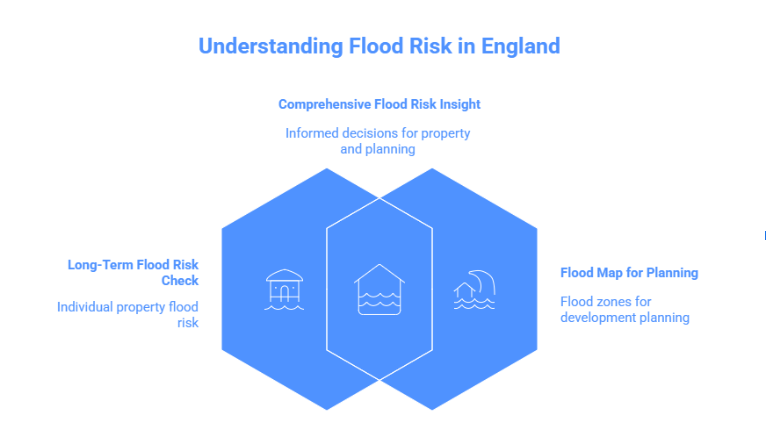
England provides two main government flood risk tools, each designed for a different purpose.
Assessing flood risk over time
Users can enter a postcode and check the total probability of flooding from various sources, such as rivers, the sea, surface water, and reservoirs, using gov.uk website.
Check long-term flood risk for your area using the above link. Although this tool is helpful for general awareness, especially for purchasers and homeowners, it cannot guarantee that a particular property will flood.
Flood map for planning
Planning and development decisions are the primary purpose of the flood map for planning. It helps establish whether a flood risk assessment is necessary by displaying whether land is in flood zones 2 or 3.
Key difference between the tools
Tool | Main Purpose | Typical Users |
Check long-term flood risk | General awareness | Homeowners, buyers |
Flood map for Planning | Planning decisions | Architects, developers |
Navigating flood zones UK: What do the categories mean?
In England, flood zones indicate the likelihood of flooding from rivers or the sea in any particular year.
To put it simply:
- Flood zones indicate likelihood rather than certainty.
- They do not relate to specific buildings but rather to land.
- Surface water flooding is not one of them
Flood zone summary
Flood Zone | Annual Flood Chance | What it Means |
Zone 1 | Less than 1 in 1000 | Low flood risk |
Zone 2 | Between 1 in 100 and 1 in 1000 | Medium flood risk |
Zone 3 | 1 in 100 or higher | High flood risk |
Zone 3b | Flood storage land | Must flood to function |
Flood Zone 1 is not shown separately on planning maps because it covers all land outside Zones 2 and 3.
In other words, for a property in this zone, the probability of flooding over a 20-year period is relatively low: for example, high risk areas might have a 1 in 30 chance, medium risk 1 in 100, and low risk 1 in 1,000.
To put this in perspective, other everyday risks,like being involved in a car accident or a house fire,can have similar or even higher probabilities over the same period. Comparing flood risk in this way helps homeowners, buyers, and developers make informed decisions without overestimating danger.
Areas most at risk of flooding in England
Geographical location, land use, and drainage capacity all affect flood risk.
Storm surges and sea flooding pose a greater threat to coastal regions in England’s east and south. Wide flood plains that frequently show up in flood mapping are found in major river valleys like those connected to the Thames, Severn, and Trent.
Surface water flooding is becoming more common in Urban areas as a result of heavy rainfall overflowing drains. Even in areas with little risk of river floods, this kind of flooding can happen. Check long-term flood risk in England here.
How to perform a detailed flood search for property purchases
Before buying property, a simple postcode check is rarely enough. A structured flood search should include:
Checking long-term flood risk using gov.uk tools
- Reviewing the flood map for planning the flood zone status
- Checking live flood warnings if the area has flooded before
- Considering professional reports where certainty is needed
Need certainty beyond online flood maps?
Online flood maps are a good place to start, but they are not site-specific and are not intended to provide detailed answers to planning, lending, or legal problems.
A professional flood risk report is useful in this situation.
RIDA Reports offer concise, planning-oriented evaluations of flood risk that:
- Correctly interpret data from the Environment Agency
- Evaluate flood risk at the site level rather than just postcode-level maps
- Encourage the purchase, extension and planning of real estate
- Are written in plain English for planners and homeowners.
Using a flood zone checker for small developers and architects.
For planning applications in England, flood risk is a regulatory requirements rater than optional guidance.
Whether a Flood Risk Assessment is needed depends largely on the site’s flood zone. Development in flood zone 2 or flood zone 3 will almost always require a formal assessment, while flood zone 3b is heavily restricted due to its role as a functional floodplain.
Early consideration of flood risk can help identify design constraints and mitigation measures before detailed plans are drawn up. This proactive approach ensures that developments are both safe and compliant, reducing the risk of costly redesigns or planning refusals.
Even sites in flood zone 1 may need a flood risk assessment for larger developments or where surface water flooding is a known issue.
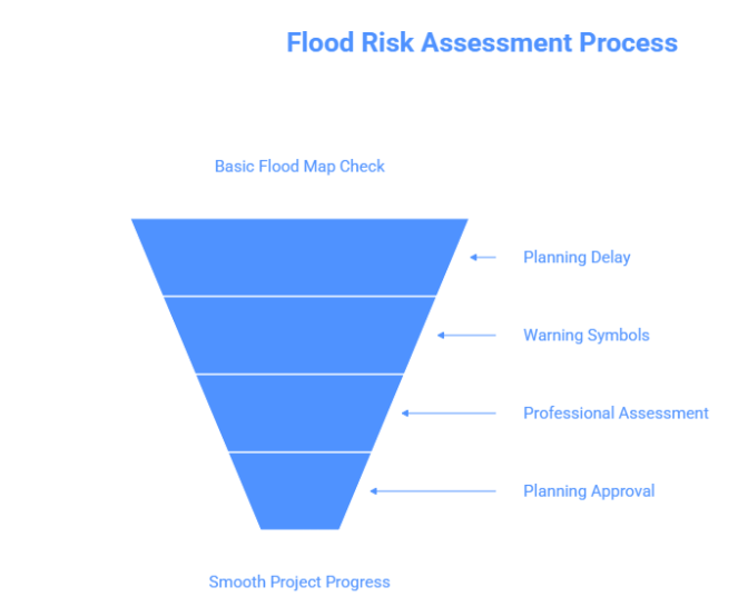
Many planning delays occur because flood risk is considered too late in the design process or relies solely on basic flood map checks, rather than a site-specific assessment that addresses local planning requirements.
Avoid planning delays and costly redesigns
In addition to the local of flood zones, local planning authorities frequently demand proof of surface water risk, access routes, and completed floor levels.
These requirements ensure that new developments are resilient not just to river or coastal flooding, but also to heavy rainfall and localized surface water events. Addressing these factors early in the planning process helps minimise delays and reduces the likelihood of costly modifications later.
By creating planning-ready flood risk assessments that meet local authority requirements, RIDA reports assist homeowners, architects, and small developers in moving projects forward without needless conditions or redesigns.
Live updates: Monitoring flooding in real time
For people already living in UK flood areas, real-time information is critical during severe weather.
The gov.uk check for flooding service provides live flood alerts and warnings.
Message type | Meaning |
Flood alert | Flooding is possible |
Flood warning | Flooding is expected |
Severe flood warning | Danger to life |
The impact of flood risk on insurance and property value
Flood risk can influence more than just physical safety; it can have a direct effect on the financial aspects of owning or buying property. Understanding the potential for flooding helps homeowners, buyers, and developers anticipate costs and make informed investment decisions.
Insurance rates, excess levels, mortgage choices, and resale value are all impacted by flood risk.
Even minor or medium-risk designations can influence lenders’ decisions and the availability of certain insurance products, meaning that properties in these areas may face higher premiums or additional conditions. Being aware of these factors early allows buyers and owners to budget appropriately and avoid unexpected financial strain.
If a property is located in a mapped flood risk region, it may cost more even if it has never flooded.
Early knowledge of flood zones enables owners and buyers to make realistic plans and steer clear of unpleasant shocks.
Conclusion
Although they are a crucial beginning step, flood maps are not the whole story. Knowing UK flood areas can help you make well-informed decisions when purchasing a property, building an addition, or filing a planning application.
However, flood maps provide only a broad overview and may not capture site-specific risks such as local drainage issues, surface water accumulation, or changes in land use nearby. Understanding these finer details often requires a professional assessment to ensure that decisions are safe, compliant, and future-proof.
Professional flood risk assessments may offer assurance, compliance, and peace of mind for clarity that goes beyond online maps.
Find out how RIDA Reports can help your project.